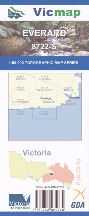
Everard 1-50,000 Vicmap
$12.00 – $24.00
Description:
Part of the Wilderness Coast Walk
Everard 1-50,000 scale Vicmap Topographical map 8722S is used for Walking, 4WD, Fishing, Camping, Motorcycle, both On and Off Road, Gold Prospecting and for those simply going for a family weekend drive.
Topographical maps show not only Contours of the Terrain but Walking Tracks, Sealed and Unsealed Roads, Rivers, Creeks, Lakes, Historical Point of Interest, Old Mine Sites mbtg and National and State Park areas.
Main Features of this map include:
A section of Croajingalong National Park
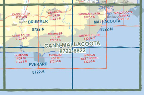
Mostly ocean, covers the area from Wingan Inlet to Cape Conran
POINT HICKS, POINT HICKS LIGHT RESERVE, Thurra River and Swamp, Mueller Camp, Baawang Reference Area (no public access), mbtg Petrel Point, Petrel Point Camping, Gale Hill, part of Elusive Lake, Rame Head Remote and Natural Area, Rame Head, edge of Wingan Inlet, Part of Sydenham Inlet and Cape Conran Coastal Park, mbtg, Barga Reference Area (no public access), Tamboon South, Tamboon Inlet, Pelican Point, Tamboon State Forest
You may also like…
-
TAMBOON NORTH 1-25,000 Vicmap Topographic Map 8722-3-N
$14.00 – $26.00Select options This product has multiple variants. The options may be chosen on the product page -
Bemm 1-50,000 Vicmap
$12.00 – $24.00Select options This product has multiple variants. The options may be chosen on the product page -
EVERARD NORTH 1-25,000 Vicmap Topographic Map 8722-2-N
$14.00 – $26.00Select options This product has multiple variants. The options may be chosen on the product page -
Mallacoota Merimbula Adventure Map Rooftop
$12.95 – $25.00Select options This product has multiple variants. The options may be chosen on the product page -
Nadgee 1-50,000 Vicmap
$12.00 – $24.00Select options This product has multiple variants. The options may be chosen on the product page -
Mallacoota 1-50,000 Vicmap
$12.00 – $24.00Select options This product has multiple variants. The options may be chosen on the product page


