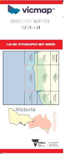

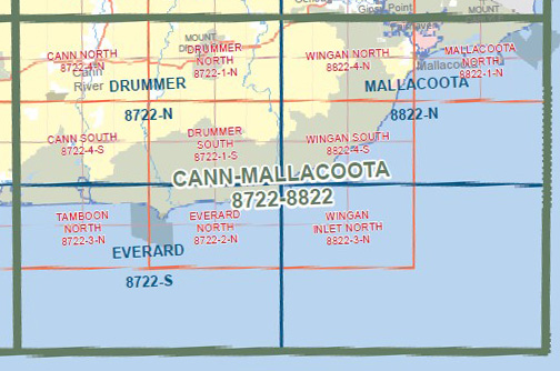
EVERARD NORTH 1-25,000 Vicmap Topo Map 8722-2-N
$14.00 – $26.00
Description:
EVERARD NORTH 1-25,000 Vicmap Topographic Map 87222N Now Print On Demand is used for Walking, 4WD, Fishing, Camping, Motorcycle, both On and Off Road, Gold Prospecting and for those simply going for a family weekend drive.
This is a new series of 1-25,000 scale maps, all of Victoria is now covered by these maps, including maps over the South Australian and NSW Borders.
Topographical maps show not only Contours of the Terrain but Walking Tracks, Sealed and Unsealed Roads, Rivers, Creeks, Lakes, Historical Points of Interest, Old Mine Sites mbtg and National and State Park areas.
Main Features of this map includes:
Part of the Wilderness Coast Walk CROAJINGOLONG National Part and mainly sea
POINT HICKS, POINT HICKS LIGHT RESERVE, Thurra River and Swamp, Mueller Camp, Baawang Reference Area (no public access), mbtg Petrel Point, Petrel Point Camping, Gale Hill, part of Elusive Lake, Rame Head Remote and Natural Area, Rame Head, edge of Wingan Inlet