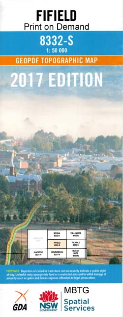
Fifield 1-50000 NSW Topographic Map
$16.95
Description:
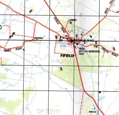
Fifield 8332-S 1-50,000 scale NSW Topographical map is used for Walking, 4WD, Fishing, Camping, Motorcycle, both On and Off Road, Gold Prospecting and for those simply going for a family weekend drive.
Topographical maps show not only Contours of the Terrain but also Walking Tracks, Sealed and Unsealed Roads, Rivers, Creeks, Lakes, Historical Point of Interest, Old Mine Sites and National and State Park areas.
 We can Now LAMINATE and fold your map for $12.00. Just click on the image and
NOW AVAILABLE PRINT ON DEMAND
Locations within this Map
Flemington Boona West Meloola Wellwood Lara Carlisle Park Carlisle Nyora Wilga Lockerbie Avocavale Mayfield Belmont Kurrajong Grainee Baratta Bassett Carlisle Creek Colls Derriwong Derriwong Mountain Derriwong Mountain State Forest Ellerslie Elsmore Emu Plains Fifield Fifield Cemetery Fifield Racecourse Fifield Tank Ghost Ghost Hill Herring Jacks Plain Fiefield Fiefield Town Tank Village of Fiefield Fifield Public School Moorefield Public School Mount Tilga State Forest Mowabla Mowabla Tank Murga Murrumbogie Platina Platina Public School Reynolds Tank Scrubby Tank Sebastopol Taratta State Forest Tout Yarran Creek Hazel Brough Memorial Park Mount Herring Slaughtering Creek Jerula Boona Mountains Ghost Mountain Forest Vale Brooklyn Mowambla Tank Burando Bundaburra Tank
| Name: | Fifield |
| Publisher: | New South Wales Government |
| Scale: | 1:50000 |
| Latitude Range: | 32° 45.0′ S – 33° 00.0′ S |
| Longitude Range: | 147° 0.0′ E – 147° 30.0′ E |
| Datum: | GDA 94 |


