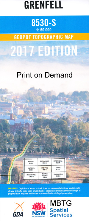
Grenfell 1-50000 NSW Topographic Map
$16.95 – $28.95
Description:
Grenfell 8530-S 1-50,000 scale NSW Topographical map is used for Walking, 4WD, Fishing, Camping, Motorcycle, both On and Off Road, Gold Prospecting and for those simply going for a family weekend drive.
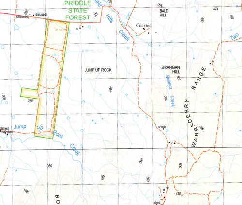
Topographical maps show not only Contours of the Terrain but also Walking Tracks, Sealed and Unsealed Roads, Rivers, Creeks, Lakes, Historical Point of Interest, Old Mine Sites and National and State Park areas.
NOW AVAILABLE PRINT ON DEMAND
Locations within this Map
Pinnicle Glenelg Wattle Villa Heinemo Rosewood Garrawilla Mascot Oaklea Glenrowan Glendara Springhill Bogolong Telarah Weona Coomaloo Allendale Myee St Kilda Warepa Yarrabie Waree Okara Glenroon Ipswich Hillview Shadelands Eualdrie Girrahween Valley View Weddin View Hopefield Wirega Oakleigh Tingha Avondale Yamalea Mirrabooka Koorowong Spring Grove Closeburn Thornbury Valicare Gambarra Torwood Carthonia Ingle Vale Paitoa Braeside Sunnyside Dalkeith Summer Hill Cambooya Coorawong Pillagalee Glenavon Green Hills Wee Waa Gundaroo Fairview Glenleigh Grenfell Greenethorpe Adelargo Barryrenie Belmont Spring Black Spring Mountain Birangan Hill Birangan Mountain Bimbi Bogalong Bogalong Creek Bogalong Public School Bogalong State Forest Bogo-Bogolong Springs Bogolong Creek Bogolong Dam Bogolong Hills Bogolong Springs Bogolong State Forest Bolands Creek Bolungerai Broula Brundah Brundah Creek Brundah Fall Brundah Falls Brundah North Public School Brundah Springs Cherry Creek Coba Conimbla National Park Conimbla Range Corner Cattle Camp Crowther Range Cudgymaguntry Emu Creek Emu Creek Tank Four Mile Creek Frenchmans Creek Goonumburrbung Creek Greenethorpe Public School Grenfell Creek Grenfell Post Office Grenfell Public School Grenfell Showground Henry Lawson High School Hog Back Saddle Ironpot Creek Jacko Springs Jones Tank Jump Up Rock Jump Up Rock Creek Keewong Creek Kellys Creek Kellys Creek Springs Demondrille Junction Public School Emu Inn Grenfell Gully Grenfell Gully Creek Town of Grenfell Hog Back Lagoon Tank The Lawson Park Mount Lively Lucan Lucy Hill Marowrie Melyra Mogongong Mogongong Railway Station Mogongong Springs Mogongong Spring Munjal Hill Munjalor Moogal Hill Murrays Creek Old Mortray Springs Patemans Dam Priddle State Forest Quandong Creek Quandong Gully Quandong Quondong Quondong Public School Quondong Railway Station Rareys Creek Rareys Gully Rocky Hill Snake Hill Splitters Gully Sugar Loaf Mountain Three Mile Camp Two Mile Creek Two Mile Gully Tyagong Creek Wallah Wallah Creek Warraderry Warrandale Public School Warrumba Weddin Weddin Gap Weddin Mountain Weddin Mountain Range Weddin Mountains National Park Weddin Public School Wilsons Hill Wirega Waree or Ironpot Creek Woods Creek Yambira Yambira Creek Yambira State Forest Yambira Sugarloaf Yuline Bullock Creek Bumbaldry Bumbaldry Creek Bumbaldry Hills Bumbaldry Wells Bungalong Driftway Bungalong Creek Brundah Railway Station Rotary Park Waree Creek Mittons Creek Priddles Tank Hunter Gully Weddin Creek Peaks Creek Mount Sugarloaf Sugarloaf Mountain Black Springs Mountain The Lagoon Tank
| Name: | Grenfell |
| Publisher: | New South Wales Government |
| Scale: | 1:50000 |
| Latitude Range: | 33° 45.0′ S – 34° 0.0′ S |
| Longitude Range: | 148° 0.0′ E – 148° 30.0′ E |
| Datum: | GDA 94 |


