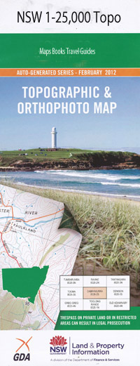
Gresford 1-25,000 NSW Topographic Map
$16.95 – $31.95
Description:
9233-3-SPrint on Demand
Whitfield Glenthorne Thornleigh Bingleburra Brinkburn Cawarra The Falls Bingleburra Park Hanley Kelburn Eden Vale Blenhim Park Gresford Anleys Creek Mount Ararat Ararat Gully Big Creek Branch Gully Brecon Broad Creek Bucknells Creek Camp Gully Cangon Creek Common Creek Cooks Pinnacle Coulston Coxs Gully Creightons Creek Dungog East Gresford East Gresford Graveyard Fingal Fishers Hill Frasers Creek Gresford Park Gresford Public School Hookes Hill Hughes Creek Kangaroo Creek Camp Creek Cangon Gully Colstoun Coxs Creek Hanleys Creek Lame Horse Creek Lewinsbrook Lewinsbrook Creek Little Creek Mcintyre Creek Main Creek Maxwells Creek Mirari Creek Mundruk Creek North Breckin Old Mans Creek Orana Park Pilchers Cave Pilchers Hill Pilchers Mountain The Pinnacle Richardson Rosebrook Range Rushy Gully Rushy Gully Creek Sandy Creek Spring Creek Spring Gully Stony Brush Creek Sugarloaf Creek Sugar Loaf Creek Summer Hill Tabbil Creek Torryburn Trevallyn Tyraman Union Creek Vacy Public School Verges Creek Wallaringa Wallarobba Wallarobba Creek Wallarobba Railway Station Wirragulla Creek Wiry Gully Creek Dog Trap Creek Wattle Gully Sugarloaf Wirragulla Mount Richardson Cresford Bonnington Creek Wiragulla Bunnabunoo Cader Idris Hilldale Brookfield
| Name: | Gresford |
| Publisher: | New South Wales Government |
| Scale: | 1:25000 |
| Latitude Range: | 32° 22.5′ S – 32° 30.0′ S |
| Longitude Range: | 151° 30.0′ E – 151° 45.0′ E |
| Datum: | GDA 94 |
| Approx Print Size: | 0.56m X 1.11m |

