
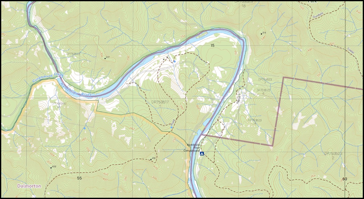
Gundahl 1-25,000 NSW Topographic Map 9438-4-S
Price range: $16.95 through $28.95
Description:
Gundahl 1-25,000 NSW Topographic Map 9438-4-S Print on Demand
Locations within this Map
Baffle Creek Black Snake Creek Cedar Gully Chambigne Conroy Cunglebung Mount Cunglebung Devils Elbow Gully Far Creek Gundahl Gundahl Creek Mount Gundahl Harry Branch Creek Jackadgery Jackys Creek Cedar Creek Gunglebung Mountain Devils Elbow Eastern Branch Of Doboy Creek Little Mattiers Creek Long Arm Creek Main Creek Moonlight Gully New Zealand Falls Nymboida National Park Mount Point Gundah Ramornie Ramornie State Forest Reedy Creek Reids Creek Ross Stockyard Creek Tindal Gully Mount Tindal Valorem Creek Doughboy Creek Nymboida River Cunglebung Creek
| Name: | Gundahl |
| Publisher: | New South Wales Government |
| Scale: | 1:25,000 |
| Latitude Range: | 29° 37.5′ S – 29° 45.0′ S |
| Longitude Range: | 152° 30.0′ E – 152° 45.0′ E |
| Datum: | GDA 2020
Edition 2022 |
| Approx Print Size: | 0.56m X 1.11m |
Read More
You may also like…
-
Blaxlands Flat 1-25,000 NSW Topo Map 9438-2-S
Price range: $16.95 through $28.95Select options This product has multiple variants. The options may be chosen on the product page -
Grafton 1-25,000 NSW Topographic Map 9438-1-S
Price range: $16.95 through $28.95Select options This product has multiple variants. The options may be chosen on the product page -
Jackadgery 1-25,000 NSW Topographic Map 9438-4-N
Price range: $16.95 through $28.95Select options This product has multiple variants. The options may be chosen on the product page -
Buccarumbi 1-25,000 NSW Topographic Map 9438-3-N
Price range: $16.95 through $28.95Select options This product has multiple variants. The options may be chosen on the product page