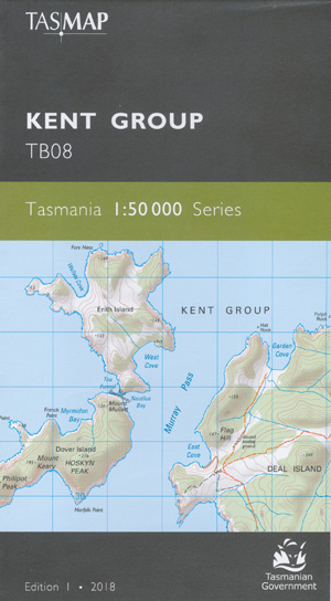
Kent Group 1-50,000 Topographic Map Tasmap
$13.95
1 in stock
Description:
Kent Group 1-50,000 Topographic Map Tasmap TB08
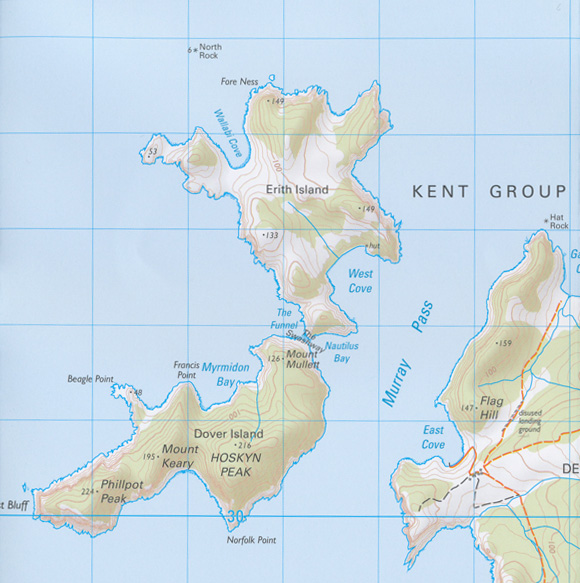
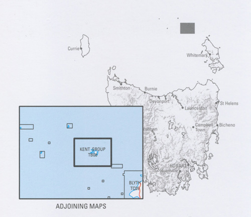
This map is centred on the Kent Group of islands which lie in Bass Strait between the Furneaux Group of islands and Wilsons Promontory. Encompassing the main islands of Deal, Erith and Dover and associated state waters, The Kent Group National Park is recognised as Tasmania’s most remote National Park.
Insets of Rodondo, Moncoeur, Hogan and Curtis Islands and numerous small islets and rocks complete the map coverage of the remnant land bridge linking Tasmania with the Australian mainland.
| Edition: | 1 |
| Production Year: | 2018 |
| Datum: | Geocentric Datum of Australia 1994 (GDA94) |
| Scale: | 1:50000 |
ISBN 9318923027341
| Product Number: | TB08 |
Read More


