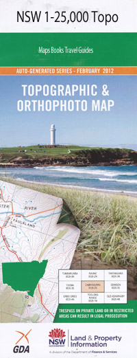
Korogoro Point 1-25,000 NSW Topographic Map
$16.95 – $31.95
Description:
9535-4-N Print on Demand
Locations within this Map
Kentucky Hat Head Hat Hill Hat Head Old Kinchela Korogoro Creek Korogoro Point Lower Kinchela Mcguires Crossing Swan Pool Connors Beach Connors Hill Gap Beach Hat Head Gap Hat Head National Park Hungry Hill Korogoro Arch O’Connors Beach O’Connors Hill The Arch The Gap Third Beach Wards Cove Wards Hole Hoffmans Drain Madang Gurung Park Little Beach Flat Rock The Death Hole The Wall The Island Windy Gap Kemps Corner The Jew Bight OConnors Beach
| Name: | Korogoro Point |
| Publisher: | New South Wales Government |
| Scale: | 1:25000 |
| Latitude Range: | 31° 0.0′ S – 31° 7.5′ S |
| Longitude Range: | 153° 0.0′ E – 153° 15.0′ E |
| Datum: | GDA 94 |
| Approx Print Size: | 0.56m X 1.11m |
Read More

