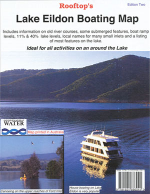
Lake Eildon Boating Map Rooftop
Price range: $8.95 through $16.00
Description:
Lake Eildon Boating Map Rooftop
When Laminated Flat it is a Previously a folded map, so the creases will be still visible
This a special map focusing on all the relics, ruins and sites submerged when the lake is full and appearing only as the water level recedes.
There is a detailed table of GPS co-ordinates pin-pointing something like 140 sites of interest.
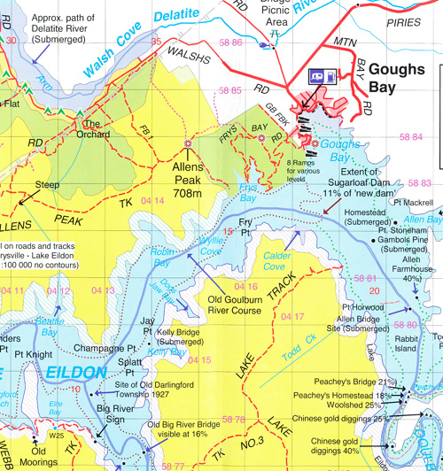
Coverage includes the whole of Lake Eildon, Lake Eildon National Park, plus lakeside towns and villages. Boat ramps and service barges are shown with the full percentage required to be accessible by boats. The old river courses have also been plotted. The reverse of the map has a map of the pondage and Eildon township plus lots of statistics on the lake.
Facility symbols include Camping Areas, Caravan Parks, Toilets, Bush Huts, Picnic Areas, Fuel Barges, Boat Ramps, Helipads, Water Points and more.
The 1:70,000 scale map also includes, roads; vehicle, buoy identification, motorcycle and walking tracks; distances from dam wall, and GPS co-ordinates.
2012 Edition
The Rooftop Lake Eildon Boating Map is also available Laminated, see below.
ISBN: 9781921886041
Size unfolded approx 47cm x 60cm
You may also like…
-
Fishing and Camping the Goulburn River AFN
Select options This product has multiple variants. The options may be chosen on the product page -
Jamieson Licola Adventure Map Rooftop
Price range: $11.95 through $25.00Select options This product has multiple variants. The options may be chosen on the product page