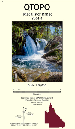
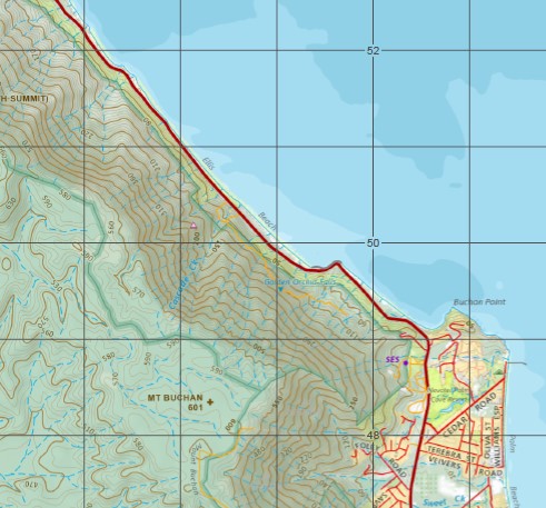
Macalister Range 1-50,000 Queensland Topographic Map
$15.95 – $27.95
Description:
Macalister Range 1-50,000 Queensland Topographic Map 8064-4
Locations within this Map
Spring Valley Arnold Knob Big Rooty Creek Buchan Buchan Point Mount Buchan Cascade Creek Mount Charlie Christmas Pocket Double Island Mount Dug Dulanban Egmont Reef Ellis Beach Mount Formartine North Summit Mount Formartine South Summit Garioch Reef Mount Garioch Glendon Gully Golden Orchid Falls Hamilton Pocket Hartleys Creek Haycock Island Hockley Korea Reef Mount Mar Middle Rooty Creek Oak Beach Observation Hill Palm Beach Pearce Creek Pebbly Beach Pretty Beach Red Cliff Point Red Hill Simpson Point Slip Cliff Point Spring Creek The Green Tree Trinity Bay Troughton Creek Troughton Pocket Turtle Creek Turtle Creek Beach Unity Reef Viever Creek Wangetti Wentworth Reef White Cliff Point White Cliffs Yule Point Yule Reef Jack And Jill Lookout Kuranda National Park Palm Cove Mona Mona Alexandra Reefs Alexander Reef Alexandra Reef Arnold Nob Black Mountain Harris Peak Mount Black Mount Harris Hartley Creek MacAlister Range North Summit Mount Formartine Mount Formantine Mount Formartine North Summit North Summit Mount Formantine South Summit Mount Formartine Mount Formantine South Summit Mount South Summit Formartine South Summit Haycock Islet Mona Mona Mission
| Publisher: | Queensland Government 80644 |
| Scale: | 1:50,000 |
| Latitude Range: | 16° 30.0′ S – 16° 45.0′ S |
| Longitude Range: | 145° 30.0′ E – 145° 45.0′ E |
| Projection / Datum: | Universal Transverse Mercator, GDA 2020 |
| Approx Print Size: | 0.56m X 0.56m |


