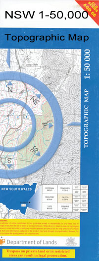
Marsden 1-50000 NSW Topographic Map
$16.95
Description:
Marsden 8430-S 1-50,000 scale NSW Topographical map is used for Walking, 4WD, Fishing, Camping, Motorcycle, both On and Off Road, Gold Prospecting and for those simply going for a family weekend drive.
Topographical maps show not only Contours of the Terrain but also Walking Tracks, Sealed and Unsealed Roads, Rivers, Creeks, Lakes, Historical Point of Interest, Old Mine Sites and National and State Park areas.
 We can Now LAMINATE and fold your map for $12.00. Just click on the image and add to the Trolley
NOW AVAILABLE PRINT ON DEMAND
Locations within this Map
Kia-Ama Glengarrie Milroy Fairfield Illoura Melrose Roselea Glenroy Caragabal West Warrakimbo Tobruk Eden Valley Woodlands Yuline Caragabal Myall Park Box Vale Glendara Yarrawonga Burrabeena Oakleigh Pinedale Westfield Ferndale Beena Fairview Hillview Weddin Collingwood Pine Hill Mariona Mininjary Myalla Marowrie Melba Downs Rheo Bland Gilgowrie Nardoo Wynella Bonniedoon Skirling Plains Bland Park Glen Ayr Quambatook Hurstholme Wattledale Warralonga Sunnyside Coolabah Bellevue Currawong Gumbundra Rosewood East Bland Wilga Vale Kaloola Richmond Back Creek Barbingal Barbingal State Forest Basin Gully Ben Halls Homestead Ben Halls Stockyards Berendebba Berendebba Public School Berrigan Bobtail Creek Blind Creek Black Gin Gully Bimbi National Forest Bimbi State Forest Bimbella Boyd Brymur Caragabal Creek Caragabal Railway Station Caragabal State Forest Clearys Creek Eualdrie Euroka Gardiners Camp Gibber Gibraltar Rocks Gipps Guinea Hen Creek Jingerangle Jingerangle State Forest Jingerangle Tank Junction Hole Village of Caragabal Good Crossing Lignum Creek Lignum or Back Creek Little Caragabal Creek Little Caragabal State Forest Little Creek The Long Swamp The Long Plain Marsden Marsden Tank Village of Marsden Middle Creek Minijary Mount Wheogo Piney Range Pullabooka Pullabooka State Forest Russells Dam Russells Tank Sandhill Plain Creek Sandy Creek Sauls Spring Shingle Gully Small Basin Gully The White Cow Plain Tirranna Troys Forest Wah Way Plain Weddin National Forest Weddin State Forest Wentworth Gully Wheoga Wheoga Hill Wheoga Range Wheoga Tank Williams Crossing Ben Halls Cave Bimbi Bland Creek Yeo Yeo Creek Barmedman Creek Goughs Dam Barbingal Creek Russels Dam Weddin Range Weddin Mountain Range Wah Way Creek Wah Wah Creek Bland Berendebba Dam
| Name: | Marsden |
| Publisher: | New South Wales Government |
| Scale: | 1:50000 |
| Latitude Range: | 33° 45.0′ S – 34° 0.0′ S |
| Longitude Range: | 147° 30.0′ E – 148° 0.0′ E |
| Datum: | GDA 94 |

