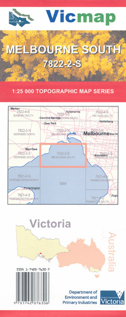
Melbourne South 1-25,000 Vicmap Topographic Map
$12.00 – $24.00
Description:
Melbourne South 1-25,000 scale Vicmap Topographical map 78222S
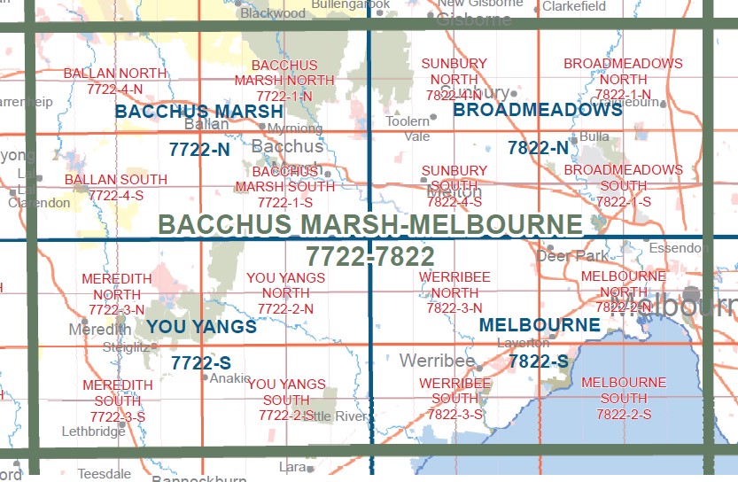
This is a new series of 1-25,000 scale maps, only certain sections of Victoria are covered by these maps.
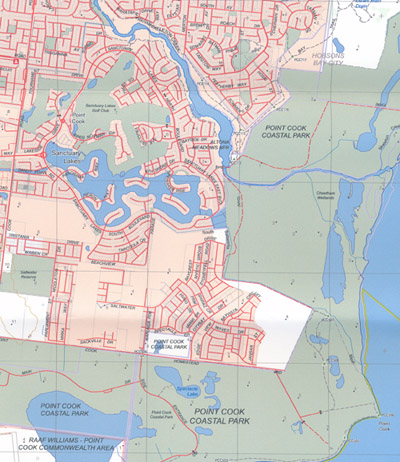
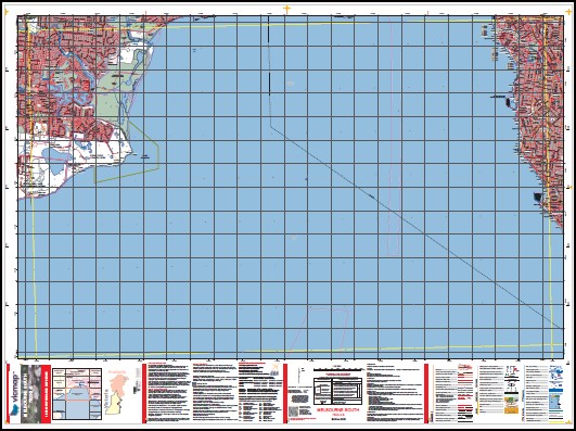
Topographical maps show not only Contours of the Terrain but Walking Tracks, Sealed and Unsealed Roads, Rivers, Creeks, Lakes, Historical Points of Interest, Old Mine Sites mbtg and National and State Park areas.
Main Features of this map includes:
Covers the Old Edition Altona Bay which is out of print
POINT COOK COASTAL PARK, RAAF WILLIAMS – POINT COOK COMMONWEALTH AREA,
Covers the suburbs Wiiliams Landing Seabrook, Altona Meadows, Point Cook, Sanctuary Lakes, Brighton, edge of Sandringham
Please refer to image on the cover of the map for the area covered
Read More
You may also like…
-
Melbourne 1-50,000 Vicmap Topographic Map
$12.00 – $24.00Select options This product has multiple variants. The options may be chosen on the product page -
RINGWOOD SOUTH 1-25,000 Vicmap Topographic Map 7922-3-S
$14.00 – $26.00Select options This product has multiple variants. The options may be chosen on the product page -
Melbourne North 1-25,000 Vicmap Topographic Map
$12.00 – $24.00Select options This product has multiple variants. The options may be chosen on the product page