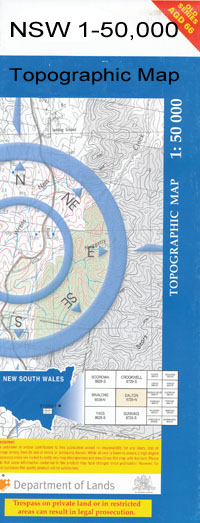
Moree 1-50000 NSW Topographic Map
$16.95 – $31.95
Description:
Moree 8839-S 1-50,000 scale NSW Topographical map is used for Walking, 4WD, Fishing, Camping, Motorcycle, both On and Off Road, Gold Prospecting and for those simply going for a family weekend drive.
Topographical maps show not only Contours of the Terrain but also Walking Tracks, Sealed and Unsealed Roads, Rivers, Creeks, Lakes, Historical Point of Interest, Old Mine Sites and National and State Park areas.
 We can Now LAMINATE and fold your map for $12.00. Just click on the image and add to the Trolley
NOW AVAILABLE PRINT ON DEMAND
Locations within this Map
Colmlee Midkin Bullerana Wallambah Norwood Carossa Moree Ashley Ashley Cemetery Ashley General Cemetery Village of Ashley Big Leather Watercourse Bogree Bogree Waterholes Boolooroo Boolooroo Bore Boolooroo Weir Boonaldoon Bore Boundary Oval Brand Park Broadwater Creek Broughton Oval Camurra Camurra Railway Station Carole Creek Regulator Carore Cooee Park Courallie Courallie High School Cowell Lagoon Gingham Watercourse Greenbah Greenbah Creek Greenbah Cutting Greenbah Oval Gwydir Gwydir Anabranch Gwydir Pool Gwydir Raft Halls Creek Jellicoe Jellicoe Park Goonal or Great Ana Branch of Gwydir River Kirkby Park Lloyd Oyal Medgun Midkin No 3 Bore Midkin Nature Reserve Midkin State Forest Mooee Town of Moree Moree Airport Moree Bore Moree Cemetery Moree General Cemetery Moree Flour Mill Moree Golf Course Moree High School Moree Post Office Moree Primary School Moree Public School Moree Racecourse Moree Railway Station Moree Rifle Range Moree Showground Moree Silo Moree Silo South Moree Technical College Moree Tower Mungie Bungie Railway Station Noona North Channel Northern Branch Picone Park Skinners Creek Talmoi Taylor Oval Terrille Island The Broadwater Tyree Bore Tyreel Anabranch Tyreel Bore Wales Park Wallanoll Warrambool Creek Warrambool Watervale Yards Wathagar Webb Oval Wee Bulla Bulla Whittaker Wilga Yarraman Yarraman Crossing Yarraman Lagoon Duffys Creek Dirty Lagoon Moree League The Rocks Camurra Ecce Moree Tracking Station Apex Park Mike Shaw Park Midkin Park Moree Secondary College Albert Street Campus Moree Secondary College Carol Avenue Campus Hobbes Walkway Talmoi Waterhole Wallon Creek Marshalls Ponds Creek Bogree Creek Carore Creek Overseas Telecommunications Commission Satellite Earth Station Gwydir River Big River Cooma Mungie Bundie Mia Creek
| Name: | Moree |
| Publisher: | New South Wales Government |
| Scale: | 1:50000 |
| Latitude Range: | 29° 15.0′ S – 29° 30.0′ S |
| Longitude Range: | 149° 30.0′ E – 150° 0.0′ E |
| Datum: | GDA 94 |

