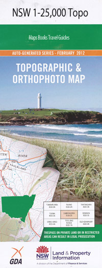
Mount Wellington 1-25,000 NSW Topographic Map
$16.95 – $31.95
Description:
9338-1-S Print on Demand
Barool Barool Creek Big Hill Cangai State Forest Cherry Tree Creek Combos Creek Coombadjha Lookout Cowan Cowan Creek Cunglebung Creek Fridays Creek Gibraltar Range State Forest Groom Barrel Creek Jimmys Creek Kaloe Mountain Cangi State Forest Combos Gully Hell Hole Creek Kaloe Mount Lemon Tree Lemon Tree Creek Long Ridge Long Spur Mann Peak Mann Point Misery Hill Mount Misery Mistake Creek Mosquito Creek Munningyundo Mountain Munningyundo Point New Scrubby Creek Nugget Gully Oakey Creek Oaky Creek Old Scrubby Creek Pheasant Gully Pine Creek Scotties Gully Shoot Gully Splitters Creek Stony Creek Sweeneys Creek Sylvester Creek Sylvester Gully Wellington Wellington Creek Mount Wellington Wellington Point Dingo Creek Bullocky Creek Downfall Creek Driers Gully Cooraldooral Creek Nymboida River Cunglebung Mountain Henry River
| Name: | Mount Wellington |
| Publisher: | New South Wales Government |
| Scale: | 1:25000 |
| Latitude Range: | 29° 37.5′ S – 29° 45.0′ S |
| Longitude Range: | 152° 15.0′ E – 152° 30.0′ E |
| Datum: | GDA 94 |
| Approx Print Size: | 0.56m X 1.11m |

