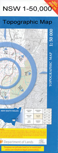
Murrawombie 1-50000 NSW Topographic Map
$16.95 – $31.95
Description:
Murrawombie 8335-N 1-50,000 scale NSW Topographical map is used for Walking, 4WD, Fishing, Camping, Motorcycle, both On and Off Road, Gold Prospecting and for those simply going for a family weekend drive.
Topographical maps show not only Contours of the Terrain but also Walking Tracks, Sealed and Unsealed Roads, Rivers, Creeks, Lakes, Historical Point of Interest, Old Mine Sites and National and State Park areas.
 We can Now LAMINATE and fold your map for $12.00. Just click on the image and add to the Trolley
NOW AVAILABLE PRINT ON DEMAND
Locations within this Map
Eumong Williewarina Fairview Woorndoo Geralgambone Welbury Crown Pine Jambaroo Buckiinguy Broomfield Murrawombie Locksley Cambridge Pine Ridge Glenhurst Illabunda The Pines Carlton Warra Windsor Park Quinine Park Myalla Iona Marlow Colane Wadonga Bread and Cheese Creek Bugwah Cowal Bulgala Courebone Cowal Swamp Eulamoga Girilambone State Forest Goldbiddie Cowal Goolagoola Graddell Grahway Hall Hen and Chicken Cowal Goldbiddie Creek Long Waterhole Middle Creek Milmiland Creek Mobigamy Creek Mobigamy Swamp Monument Creek Monument Swamp Nyangi Bogan Cowal Willeroon Woolagoola Doyles Creek Doyles Swamp Crown Pine Tank Ferns Creek Morbingaby Tank Tarpaulin Grahweed Warranbilla Gunnell Narragon Pentagon Wundabungay Gold Biddie Cowal Morbigamy Creek Old Buckinguy Buckinguy Buckyingay Duck Creek Gunningbar Creek
| Name: | Murrawombie |
| Publisher: | New South Wales Government |
| Scale: | 1:50000 |
| Latitude Range: | 31° 0.0′ S – 31° 15.0′ S |
| Longitude Range: | 147° 0.0′ E – 147° 30.0′ E |
| Datum: | GDA 94 |

