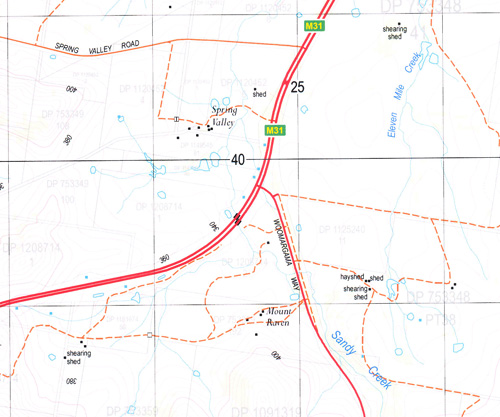
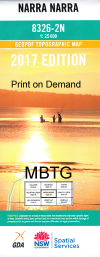
Narra Narra 1-25,000 NSW Topographic Map
$16.95 – $31.95
Description:
8326-2-N.
Locations within this Map
Woomargama Back Creek Basin Creek Chinamans Hat Devils Creek Eleven Mile Creek Fish Creek Germanton Green Reserve Creek Hacketts Hill Jergyle Mount Jergyle Kelly Creek Friday Mount Lowes Hill Mount Mckenzie Mount Mclaurin Mitchell Mountain Creek Mount Arran Mount Pleasant Narra Narra Narra Narra Wa or Mount Pleasant Norths Lookout Oaky Bulga Reddal Creek Reddall Creek Reddalls Valley Sandy Creek Scent Bottle Creek South Creek Spring Creek Ten Mile Creek Tin Mines Tunnel Creek Wilson Creek Woomargama State Forest Dora Dora Wantagong Annandayle South Narra Narra Wa
| Name: | Narra Narra |
| Publisher: | New South Wales Government |
| Scale: | 1:25000 |
| Latitude Range: | 35° 45.0′ S – 35° 52.5′ S |
| Longitude Range: | 147° 15.0′ E – 147° 30.0′ E |
| Datum: | GDA 94 |
| Approx Print Size: | 0.56m X 1.11m |
Read More


