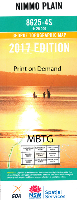
Nimmo Plain 1-25,000 NSW Topographic Map
Price range: $16.95 through $31.95
Description:
9438-3-S Print on Demand
Locations within this Map
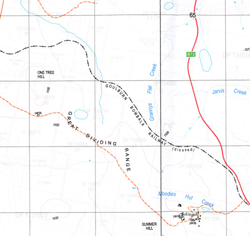
Biggam Biggam Creek Biggam North Bills Creek Bog Hole Creek Brooks Range Brooks Ridge Campbells Creek Collins Creek Deep Creek Eucumbene Eucumbene Cove Gungarlin River Kalkite Long Corner Creek Lynchs Creek Lynchs Flat Lynchs Point Middlingbank Nimmo Camp Nimmo Nimmo Plain Pipeclay Creek Pretty Jimmys Creek Rocky Plains Creek Rocky Plain Round Mountain Round Plain Sawyers Creek Snowy Gap Snowy Gap Rivulet Snowy Plains Teddys Creek The Round Flat The Snowy Plain Wainui Bay Wattle Hill Diggers Creek Bullenbalong Bulls Creek Bundara Creek Burnt Ridge Snowy Plain Biggim Creek Googoorewon Hill Lake Eucumbene Munyang Range Eastbourne
| Name: | Nimo Plain |
| Publisher: | New South Wales Government |
| Scale: | 1:25000 |
| Latitude Range: | 36° 7.5′ S – 36° 15.0′ S |
| Longitude Range: | 148° 30.0′ E – 148° 45.0′ E |
| Datum: | GDA 94 |
| Approx Print Size: | 0.56m X 1.11m |
Read More