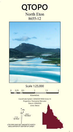
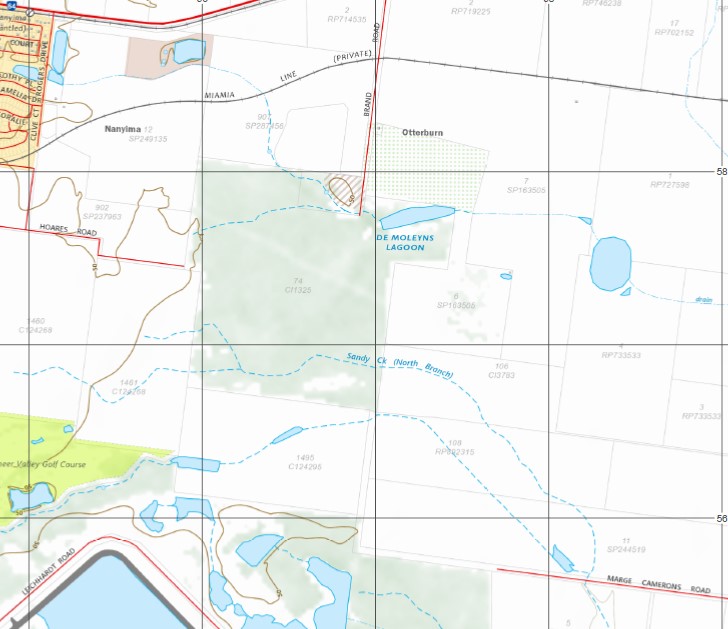
North Eton 1-25,000 Topographic Map QLD
$15.95 – $28.95
Description:
Print on Demand
Locations within this Map
Marian Abingdon Antoneys Crossing Balnagowan Creek Boldon De Moleyns Lagoon Devereux Creek Eton North Gins Leap Lake Kinchant Mount Kinchant Mount McGregor Nabilla Nanyima Newbury Otterburn Reeves Creek Sandy Creek North Branch Victoria Vince Mount Vince Wollingford Mount Kinchant National Park Kinchant Dam Mirani Marian Mirani Shire Marian Mackay City North Eton McGregor Creek Devereau Creek Two Mile Creek Newbury Junction Sunnyside DeMoleyns Lagoon Mount Vince Gap Double Peak Victoria Plains North Branch Sandy Creek Sandy Creek Drapers Sawn Bridge Creek
| Name: | North Eton 8655-12 |
| Publisher: | Queensland Government |
| Scale: | 1:25000 |
| Latitude Range: | 21° 7.5′ S – 21° 15.0′ S |
| Longitude Range: | 148° 52.5′ E – 149° 0.0′ E |
| Projection / Datum: | Universal Transverse Mercator, GDA 94 |
| Approx Print Size: | 0.56m X 0.56m |
Read More


