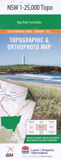
Nowendoc 1-25,000 NSW Topographic Map
$16.95 – $31.95
Description:
9234-4-N Print on Demand
Locations within this Map
Llangothan The Ranch Bro-Max-Hu Weegoona Wandana Glen Forest Nowendoc House Claravale Glen Grant South Hill Beaufort Kings Creek Myall House Black Springs Top The Black Springs Top Black Springs Ridge Black Springs Cobbs High Point Curracabundi Hall Honeysuckle Creek Hungry Hill Jacky Barker Hill Jacky Barkers Creek High Point Jackey Barkers Creek Kulmaren Large Gully Left Branch of Wild Cattle Creek Long Point Myall Nesbitts Creek Nowendoc Right Branch of Wild Cattle Creek Scrubby Creek Scrubby Dividing Range Scrubby Gully Stockyard Creek Thunderbolts Way The Racecourse Togalo Watts Creek Wild Cattle Creek Bullock Creek Bullock Range Creek Tuggolo Creek Myall Creek Myall River
| Name: | Nowendoc |
| Publisher: | New South Wales Government |
| Scale: | 1:25000 |
| Latitude Range: | 31° 30.0′ S – 31° 37.5′ S |
| Longitude Range: | 151° 30.0′ E – 151° 45.0′ E |
| Datum: | GDA 94 |
| Approx Print Size: | 0.56m X 1.11m |
Read More

