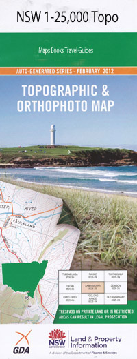
Nullamanna 1-25,000 NSW Topographic Map
$16.95 – $31.95
Description:
9138-4-S Print on Demand
Lyn-Vue Yangalala Glencoe Inverary Nullamanna Station Dunvegan Waterfords Gully Moorakyne Coomerang Arrawatta Cashel Hawthorn Dale Jura St Elmo Panaura Dunalpine Leal Lochan Guneena Prairie Park Rosehill Ascot Hillview Booloorina Dunoola Lochinvar Byron Taringa Goodwood Mourabie Nardoo East Lynne Heather Brae Kelanga Trigger Vale The Hill Tuonela Dunmallard Marieka Wanna Werango Inverell Station Bowood Rushden The Mount Valley View Blair Athol Fernhill Nioka Appletree Gully Bald Hill Bannockburn Plain Boiling Down Gully Bookoola Siding Campbells Hill Champagne Fletchers Seat Fox Hill Heffernans Gully Hunts Gully Ibis Glen Creek Inverell Inverell High School Jessies Gully Cambells Mount Campbells Mount Fern Hill Greenwood Railway Station Kurrajong Hill North Nullamanna Nullamanna Nullamanna Cemetery Oakwood Oakwood Public School Rob Roy Public School Spencers Gully Swanbrook Public School Tullochard Tullochard Hill Vivers Gully Wandera Village of Wandera Wandera Gully Burgundy Byron Station Town of Byron Campbell Auburn Vale Swanbrook Rob Roy Rob Roy Gully Rob Roys Gully Greenwood Bookoola
| Name: | Nullamanna |
| Publisher: | New South Wales Government |
| Scale: | 1:25000 |
| Latitude Range: | 29° 37.5′ S – 29° 45.0′ S |
| Longitude Range: | 151° 0.0′ E – 151° 15.0′ E |
| Datum: | GDA 94 |
| Approx Print Size: | 0.56m X 1.11m |

