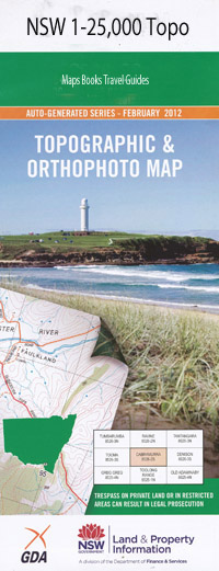
Pretty Gully 1-25,000 NSW Topographic Map
$16.95 – $31.95
Description:
9340-2-N Print on Demand
Locations within this Map
The Plateau The Meadows Bungoona Antimony The Boat Hole Black Creek Boorook Boorook Creek Callanyn Camp Creek Cedar Tree Gully Cemetery Creek Cherry Tree Gully Deep Creek Emu Creek Four Mile Creek Frenchmans Gully Gilgurry State Forest Girard Grasstree Mountain Jenny Lind Jump Up Creek Kangaroo Creek Cherry Tree Creek Grass Tree Mountain Jenny Lind or Four Mill Creek Jump-Up Creek Lunatic Gully Madmans Gully Main Camp Gully Main Camp Range Mariners Creek Morgans Creek Navvies Creek Nevvies Creek Newspaper Creek Plumbago Plumbago Creek Pretty Gully Rocky Creek Sawpit Gully Spankers Creek Spring Creek Spring Gully Stockyard Gully Stydgy Creek Wheatley Creek Crooked Creek Girard Creek
| Name: | Pretty Gully |
| Publisher: | New South Wales Government |
| Scale: | 1:25000 |
| Latitude Range: | 28° 45.0′ S – 28° 52.5′ S |
| Longitude Range: | 152° 15.0′ E – 152° 30.0′ E |
| Datum: | GDA 94 |
| Approx Print Size: | 0.56m X 1.11m |
Read More

