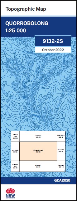
Quorrobolong 1-25,000 NSW Topographic Map
$16.95 – $28.95
Description:
Quorrobolong 1-25,000 NSW Topographic Map 9132-2-S Print on Demand
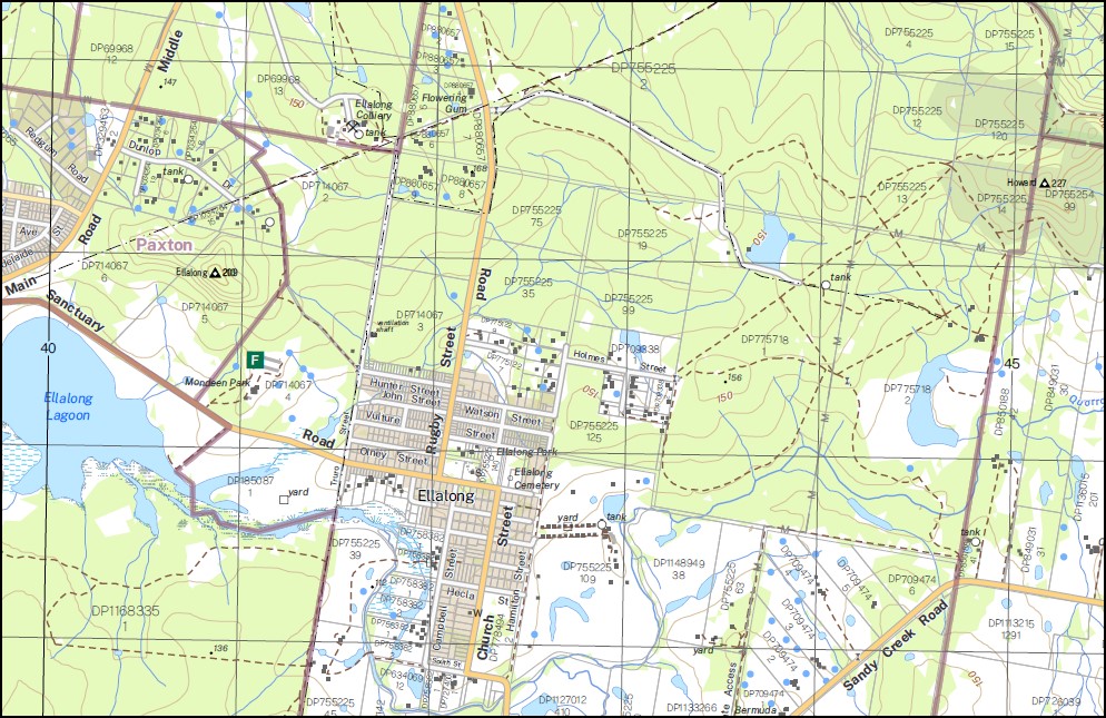
Ellalong Kitchener Millfield Mulbring Paxton Abernethy Awaba State Forest Abernethy Pinnacle Aberdare State Forest Aellalong Aellalong Lagoon Village of Abernethy Bangalow Creek Barraba Barraba Spur Brunkerville Brunkerville Creek Brunkerville Gap Church Creek Click Creek Close Congewai Congewai Creek Congewai Public School Cony Creek Ellalong Lagoon Ellalong Public School Freemans Waterhole Heaton Heaton Forest Park Heaton Lookout Heaton State Forest Hector Howard Hunter Lookout John Elm Creek Coongewai Coongewai Creek Eglinford Public School Freemans Waterholes The Gap Heaton Gap Macleans Lookout Maybell Milfield Millfield Public School Mount Vincent Mulbring Cemetery Mulbring Public School Mount Myall Myall Range North Arm of Wollombi Brook Northumberland Paxton Public School Peach Tree Gully Pelton The Pinnacle Quarrybylong Quarrybylong Creek Quorrobolong Quorrobolong Creek Sandy Creek Stewarts Creek Sugarloaf Range Wallaby Gully Dora Bow Wow Creek Bow Wow Creek Gorge Clint Creek Eglinford Mootai Clink Creek Greta Main
| Name: | Quorrobolong |
| Publisher: | New South Wales Government |
| Scale: | 1:25000 |
| Latitude Range: | 32° 52.5′ S – 33° 00.0′ S |
| Longitude Range: | 151° 15.0′ E – 151° 30.0′ E |
| Datum: | GDA 2020 |
| Approx Print Size: | 0.56m X 1.11m |


