
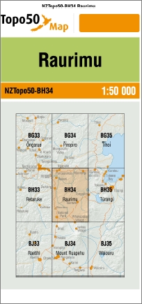
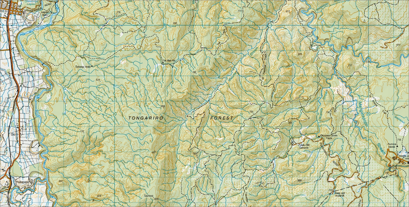
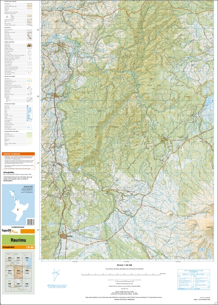
Raurimu 1-50,000 Topo Map BH34 NZ
Price range: $15.00 through $27.00
Description:
Raurimu 1-50,000 Topo Map BH34 New Zealand
Tongario Northern & Southern Circuit Great Walk Maps
New Zealand Topographic Map Sheet BH34 “Raurimu”
New Zealand Topographic Map Sheet BH35 “Turangi”
New Zealand Topographic Map Sheet BJ34 “Mount Ruapehu”
New Zealand Topographic Map Sheet BJ35 “Waioru”
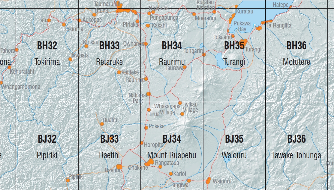
This is a set of four Land Information New Zealand 1:50000 scale topographic maps that covers the entire Tongario National Park. This includes both the Northern & Southern Circuit walks. The Northern Circuit Walk is a DOC great walk.
Main Features
Raurimu, Pungapunga, Waituhi-Kuratau Scenic Reserve, Moerangi, Hohotaka, Whakapapa Island, Whanganui River, Pukepoto Forest, Rotoaira Forest, Oraukura, Laka Otamangakau, Otamangakua Canal, Maungakatote, Traverse Track, Ten Man Hut, Owhango, Ohinetonga Walk, Tongariro Forest, Pokaka Mill Campsite, Okupata Caves Track, Pumice Caves, Ketetahi, Te Araroa Trail, Papakai, Mangatepopo Falls, Taurewa Loop Track, Taurewa Camp, Whakapapa Tawhitikui Tunnel, Hukapapa, Piopiotea Stream Rapids, Raurimu Spiral, Ngamutu, Papamanuka, Matariki Falls, Toakakura Falls, Mahuia Rapid, Pukeonake, Mangatepopo Hut, Tongariro Crossing, Mt Tongariro, Mt Ngauruhoe, Lahar Mounds Walk, Mangahui Campsite, Erua Forest, Tupapakura Falls Track, Marton Sash and Door Tramline Cycleway, Mangahui Track, Whakapapanui Track, Taranaki Falls Track, Tama Lakes Track and Upper Tama Lakes Track.
ISBN 9414264208347
Size Flat 695mm x 610mm
Size Folded 205mm x 175
You may also like…
-
Waiouru 1-50,000 Topo Map BJ35 NZ
Price range: $15.00 through $27.00Select options This product has multiple variants. The options may be chosen on the product page -
Turangi 1-50,000 Topo Map BH35 NZ
Price range: $15.00 through $27.00Select options This product has multiple variants. The options may be chosen on the product page -
Mount Ruapehu 1-50,000 Topo Map BJ34 NZ
Price range: $15.00 through $27.00Select options This product has multiple variants. The options may be chosen on the product page