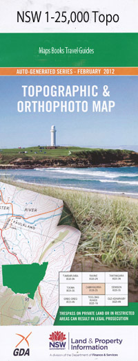
Six Brothers 1-25,000 NSW Topographic Map
$16.95 – $31.95
Description:
9031-4-S Print on Demand
Locations within this Map
Haugheys Brush Farm Haughey Hut Barakee Creek Blue Waterhole Boorai Creek Budda Creek Colo River Culoul Creek Culoul Range Gibba Gibba Swamp Girribung Creek Gospers Creek Grassy Hill Hockeys Flagstaff Kooroo Creek Molong Creek Part Of Molong Swamp Munee Creek Rising Fast Creek Rising Fast Gully Six Brothers Six Brothers Waterhole Tari Creek Tinda Creek Wolgan Wollemi Dooli Creek Toorwai Wollemi Creek
| Name: | Six Brothers |
| Publisher: | New South Wales Government |
| Scale: | 1:25000 |
| Latitude Range: | 33° 7.5′ S – 33° 15.0′ S |
| Longitude Range: | 150° 30.0′ E – 150° 45.0′ E |
| Datum: | GDA 94 |
| Approx Print Size: | 0.56m X 1.11m |
Read More

