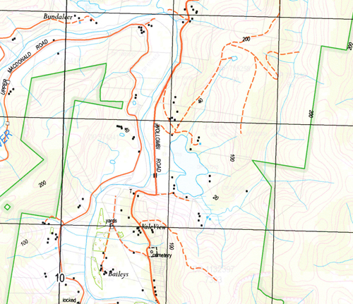
St Albans 1-25,000 NSW Topographic Maps
$16.95 – $31.95
Description:
9031-2-N Print on Demands
Larkin Farm Gorricks Run Vale View Baileys The Meadows Googoorewon Cobblers Peg Deerubeen Culvern Parawirra Kirrnung Killarney Mirrabooka Inverleigh The Squires Manor Cosy Nook Sunny Vale Avoca Cross Park Twinings Bakers Creek Bakers Gully Blaxlands Crossing Books Point Central Macdonald Flemings Creek Gooraba Creek Grono Central Macdonald Public School General Cemetery Kief Lower Macdonald Macdonald Macdonald Central Public School Macdonald Valley Public School Rush Creek St Albans St Albans Cemetery Town of St Albans St Albans Well Terraborra Upper Macdonald Webbs Creek Wellums Lake Wheelbarrow Ridge Womerah Wonga Doyles Hollow Duck Holes Ridge Butlers Crossing Butlers Ferry Books Ferry The Left Arm Creek Saint Albans
| Name: | St Albans |
| Publisher: | New South Wales Government |
| Scale: | 1:25000 |
| Latitude Range: | 33° 15.0′ S – 33° 22.5′ S |
| Longitude Range: | 150° 45.0′ E – 151° 0.0′ E |
| Datum: | GDA 94 |
| Approx Print Size: | 0.56m X 1.11m |


