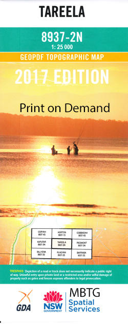
Tareela 1-25,000 NSW Topographic Map
Price range: $16.95 through $31.95
Description:
8937-2-N Print on Demand
Locations within this Map
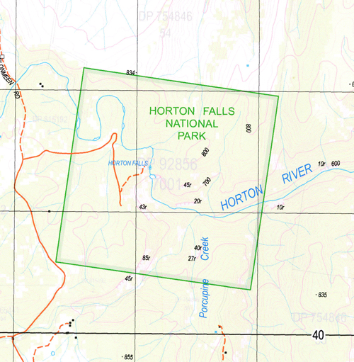
Sawpit Blue Hills Campo Santo Oakey Glen Berangwee Tabletop Cotswold The Furnace Bereen Riverstone Wea Wongala Limerick Clonmeen Wermont Rudson Gamboola Lindsay Weemalah Cairnton Plumthorpe Bareela Tabuana Chain of Ponds Creek Cut Road Creek Gap Station Creek Highland Plain Highland Plain Creek Horton Falls Lindesay Little Creek Oakey Creek Oaky Creek Old Man Mountain Old Man Ridge Plumthorpe Public School Porcupine Creek Round Mountain Rusgala Second Water Creek Second Water Station Sheepstation Creek Spring Gully Tareela Mount Tareela Teatree Creek Tea Tree Creek Berean Gwyder Falls Tareela Creek
| Name: | Tareela |
| Publisher: | New South Wales Government |
| Scale: | 1:25000 |
| Latitude Range: | 30° 15.0′ S – 30° 22.5′ S |
| Longitude Range: | 150° 15.0′ E – 150° 30.0′ E |
| Datum: | GDA 94 |
| Approx Print Size: | 0.56m X 1.11m |
Read More