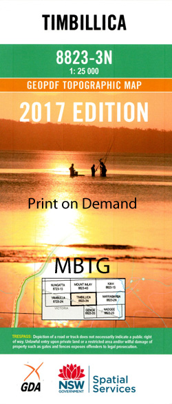
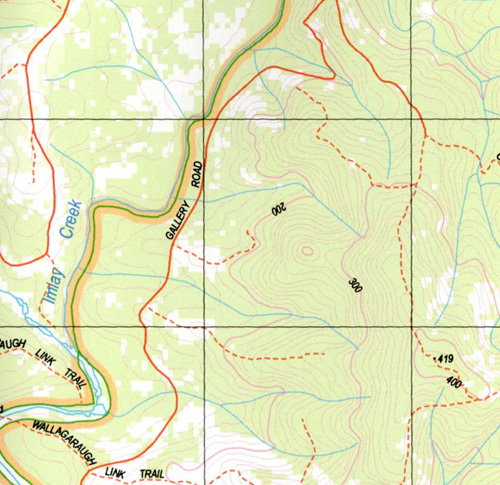
Timbillica 1-25,000 NSW Topographic Map
$16.95 – $28.95
Description:
Timbillica 1-25,000 NSW Topographic Map 8823-3-N Print on Demand
Locations within this Map
Allan Brook Alan Brook Benns Creek Bens Creek Big Flat Creek Blue Waterholes Creek Buckle Mount Buckle Germans Creek Halls Creek Maramingo Creek Murray Creek Murrays Creek Sandy Waterhole Creek Stoney Creek Stony Creek Timbillica Timbillica Hill Waalimma Walimma White Gum Creek Yambulla State Forest Yambulla Flora Reserve Imlay Creek
| Name: | Timbillica |
| Publisher: | New South Wales Government |
| Scale: | 1:25000 |
| Latitude Range: | 37° 15.0′ S – 37° 22.5′ S |
| Longitude Range: | 149° 30.0′ E – 149° 45.0′ E |
| Datum: | GDA 94 |
| Approx Print Size: | 0.56m X 1.11m |
Read More


