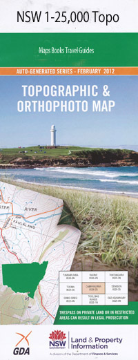
Uranquinty 1-25,000 NSW Topographic Map
$16.95 – $31.95
Description:
8327-4-S Print on Demand
Locations within this Map
Uranquinty Bennett Bon Accord Collingullie Railway Station Collingullie Watercourse Collingully Watercourse The Horseshoe Lagoon Leitch Middle Dam Creek Muddy Waterhole Pearson Roping Pole Dam Roping Pole Lake Roping Pole Swamp Tootool Tootool Public School Tywong Creek/Tywong Gully Yarragundry Bullenbung Belfrayden Towarra Ballymoran Hawthorne Dalmore Waterloo Strathdoon Pineygrove Ortona Elwood Uri Park Falkirk Farm Blakeleigh Mayfield Granville Uranquintry Landsdowne Pretty Valley Kiyuga Kalemna Tulliallan Longford Milton Park Whitcombe Simla Clifton Edenvale Melrose Roseleigh Avalon Miarb
| Name: | Uranquinty |
| Publisher: | New South Wales Government |
| Scale: | 1:25000 |
| Latitude Range: | 35° 7.5′ S – 35° 15.0′ S |
| Longitude Range: | 147° 0.0′ E – 147° 15.0′ E |
| Datum: | GDA 94 |
| Approx Print Size: | 0.56m X 1.11m |
Read More

