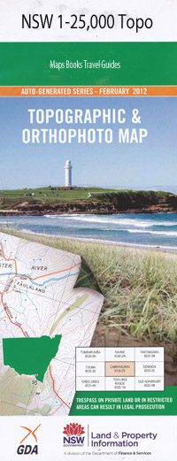
Windellama 1-25,000 NSW Topographic Map
$16.95 – $31.95
Description:
8827-1-N Print on Demand
Locations within this Map
Sandy Point Black Springs Creek Bond Broken Creek Budjong Creek Cartroad Creek Conners Creek Cullulla Isaacs Creek Jerralong Jerralong Creek Jockeys Point Curra Creek Dan Wards Gully Isaacs Gully Little Timberlight Creek Minshull Mullengullenga Nadgigomar Creek Neds Creek Paddys Creek Rocky Nob Teatree Creek Tea Tree Creek Windellama Windellama Cemetery Windellama Creek Windellama Public School High Grove The Willows
| Name: | Windellama |
| Publisher: | New South Wales Government |
| Scale: | 1:25000 |
| Latitude Range: | 35° 0.0′ S – 35° 7.5′ S |
| Longitude Range: | 149° 45.0′ E – 150° 0.0′ E |
| Datum: | GDA 94 |
| Approx Print Size: | 0.56m X 1.11m |
Read More

