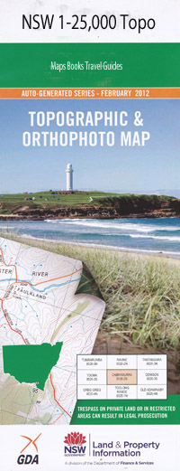
Wirraba 1-25,000 NSW Topographic Map
$16.95 – $31.95
Description:
9031-4-N Print on Demand
Locations within this Map
Rosewill Holland Park High Wollemi Adams Gija Creek Goba Creek Howes Swamp Creek Howes Waterhole Kangaroo Waterhole Hole Creek Howes Swamp Kings Waterhole Long Weeney Creek Mellong Mellong Creek Mellong Swamp Molong Swamp Reedy Creek Round Headed Arm Staircase Hill Stoney Creek Stoney Water Hole Stony Creek Stony Waterhole Swampy Gully Tupa Wallaby Swamp Warwallah Creek Weeney Wirraba Mount Wirraba Wirraba Range Wollemi Dumball Creek Bunjim Creek Gatts Farm Reserve Tupa Creek Putty Creek Mellong Range
| Name: | Wirraba |
| Publisher: | New South Wales Government |
| Scale: | 1:25000 |
| Latitude Range: | 33° 00.0′ S – 33° 7.5′ S |
| Longitude Range: | 150° 30.0′ E – 150° 45.0′ E |
| Datum: | GDA 94 |
| Approx Print Size: | 0.56m X 1.11m |
Read More

