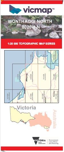

WONTHAGGI NORTH 1-25,000 Vicmap Topo Map 8020-4-N
Price range: $14.00 through $26.00
Description:
WONTHAGGI NORTH 1-25,000 Vicmap Topographic Map 80204N Now Print On Demand is used for Walking, 4WD, Fishing, Camping, Motorcycle, both On and Off Road, Gold Prospecting and for those simply going for a family weekend drive.
This is a new series of 1-25,000 scale maps, all of Victoria is now covered by these maps, including maps over the South Australian and NSW Borders.
Topographical maps show not only Contours of the Terrain but Walking Tracks, Sealed and Unsealed Roads, Rivers, Creeks, Lakes, Historical Points of Interest mbtg, Old Mine Sites mbtg and National and State Park areas.
Main Features of this map includes:
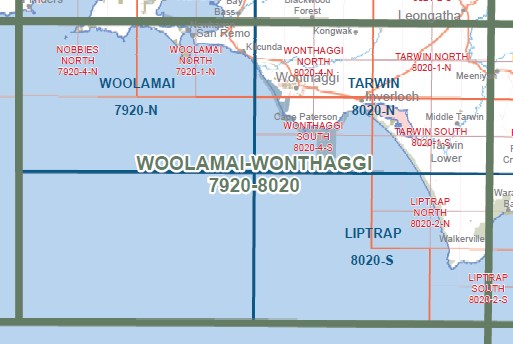
Covers the old series 1-25,000 Vicmaps Dalyston and Kongwak
Wonthaggi, NYORA-WONTHAGGI Rail disused, STEENHOLDT HILL, WONTHAGGI RAILWAY Historic Region, Powlett River Caravan Park, Powlett River, KILCUNDA NCR, YALLOCK BULLUK MCP, mbtg, Sammy’s Place, STATE COAL MINE Historic Region, Wonthaggi Mine, Hicksborough, Number 20 Coal Shaft Disaster Monument, Dalyston, Kongwak, Archies Creek, Balmattum East, Ryanston, Lance Creek, Korrine, Lance Creek Reservoir, Wattle Bank, Ellerside, edge of north Inverloch, INVERLOCH (AIRFIELD)
You may also like…
-
Bairnsdale Dargo Omeo Adventure Map Rooftop
Price range: $12.95 through $25.00Select options This product has multiple variants. The options may be chosen on the product page -
WONTHAGGI SOUTH 1-25,000 Vicmap Topo Map 8020-4-S
Price range: $14.00 through $26.00Select options This product has multiple variants. The options may be chosen on the product page -
Tarwin 1-50,000 Vicmap Topographical Map 8020-N
Price range: $14.00 through $26.00Select options This product has multiple variants. The options may be chosen on the product page