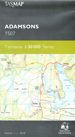
Adamson 1-50,000 Topographic Map Tasmap
$13.95
1 in stock
Description:
Adamson 1-50,000 Tasmap Topographic Map
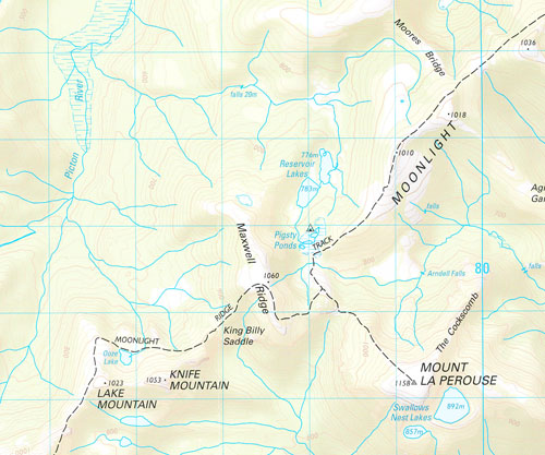
This map covers from the southern end of Hartz Mountains National Park to New River Lagoon and east to Southport. The western area is characterised by the rugged topography of the Southwest National Park. The map name is derived from Adamsons Peak (1225m), accessed by a tough day walk which gives the walker extensive views in good weather. The Moonlight Ridge Track is generally used for access to multi-day walks in Southwest National Park but also makes a great day walk just up to the ridge itself.
The spectacular scenery continues on the way up to Pindars Peak (1250m) where the route to Precipitous Bluff (1145m) and New River Lagoon begins. There are numerous other attractions shown toward the coast including the stunning Newdegate Cave, the historic Ida Bay Railway and access to the beautiful Southport Lagoon Conservation Area. The towns of Raminea, Strathblane, Southport and Lune River are covered.
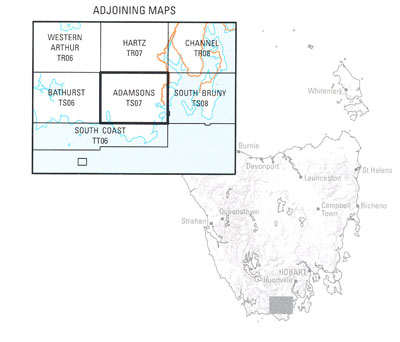
Product Number: TS07
ISBN 9318923028119
| Edition: | 1 |
| Production Year: | 2018 |
| Datum: | Geocentric Datum of Australia 1994 (GDA94) |
| Scale: | 1:50000 |
You may also like…
-
South Coast 1-50,000 Topographic Map Tasmap
Price range: $13.95 through $25.95Select options This product has multiple variants. The options may be chosen on the product page -
Bruny Island Walks Map Tasmap
Price range: $13.95 through $25.95Select options This product has multiple variants. The options may be chosen on the product page