Barmedman 1-50000 NSW Topographic Map
$16.95
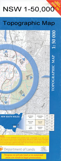
Description:
Barmedman 8329-N 1-50,000 scale NSW Topographical map is used for Walking, 4WD, Fishing, Camping, Motorcycle, both On and Off Road, Gold Prospecting and for those simply going for a family weekend drive.
Topographical maps show not only Contours of the Terrain but also Walking Tracks, Sealed and Unsealed Roads, Rivers, Creeks, Lakes, Historical Point of Interest, Old Mine Sites and National and State Park areas.
 We can Now LAMINATE and fold your map for $12.00. Just click on the image and add to the Trolley
NOW AVAILABLE PRINT ON DEMAND
Locations within this Map
Murribee Glendee Pinehurst Araluen Hill Brow Cypress Park Aorangi Killarney Cooinoo The Levels Rockdale Ilkeston Ipiriki Allambie Bull Plain Trigger Hill Roseleigh Kooringal Karoora Oakburn Fairview Koonda Oakleigh Rosevale Glenmore Bayoud Dundoo Illinois Glenview Wattle Park Dallinga Glencoe Park Pine Bank Bellevue Frontignac Ellon Vale Kaloola Iowah Oaklands Avenall Golden Hills Golan Vale Kildary Glenora Pine Valley Yurunga Maylen Vale Habbies Howe Devon Park The Ranch Woodlyn Kelso Park Cameo Rivington Stoneleigh Okabella Culingerai Barmedman Back Creek Alleena Barmedman Creek Barmedman Public School Barmedman Railway Station Belar Swamp Belimebung Bellarwi Bellarwi Railway Station Birren Birrenbed Boonabah Buddigower Buddigower Fauna Reserve Buddigower Nature Reserve Buddigower Railway Station Buddigower State Forest Buggajool Buggajool Range Buggajool Ridge Buggajool State Forest Bull Beds Cartwrights Spring Davidson Ellon Gum Swamp Langi-Kal-Kal Mail Stables Tank Mandamah Mandamah Creek Mandamah State Forest Marbunga Moonoon Tank Mustering Dam Tank Mustering Tank Native Dog Creek Nobbys Nobbys Lagoon Oaky Hill Reefton Reefton Railway Station Village of Reefton Sandersons Tank Skellys Tank Small Flat Creek Therarbung Therarbung State Forest Thurungly Waarbilla Waarbilla Creek Wargin Wargin Railway Station Village of West Reefton Wyalong South Yiddah Duckhole Kildary Road Victors Hill
| Name: | Barmedman |
| Publisher: | New South Wales Government |
| Scale: | 1:50000 |
| Latitude Range: | 34° 0.0′ S – 34° 15.0′ S |
| Longitude Range: | 147° 0.0′ E – 147° 30.0′ E |
| Datum: | GDA 94 |