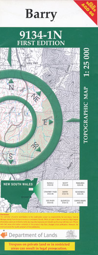
Barry 1-25,000 NSW Topographic Map
$16.95 – $31.95
Description:
9134-1-N
Barry 91341n 1-25,000 scale NSW Topographical map is usedfor Walking, 4WD, Fishing, Camping, Motorcycle, both On and Off Road, GoldProspecting and for those simply going for a family weekend drive.
Topographicalmaps show not only Contours of the Terrain but also Walking Tracks, Sealed andUnsealed Roads, Rivers, Creeks, Lakes, Historical Point of Interest, Old MineSites and National and State Park areas.
 Laminate and folded this NSW Topographical map, $12.00 see below
This map includes the following localities: Olsland Llangothan The Cliffs The Shamrock Bellbrook Akehurst Saddle The A.A.Gully Bakers Downfall Bakers Downfall Ridge Barry Barry Creek Barry Gully Bell Brook Campbells Gully Cascade Creek Crimps Gully Crow Creek Fields Gully Georges Yard Gog Mount Gog Gogs Creek Gulf Creek Gulf Spur Horse Gully Hungerford Gully Campbells Creek Crimps Creek Gogs Top Creek The Gulf Spur Horse Creek Hungerford Creek Large Gully Magog Mount Magog Meerschaum Creek Millers Creek Millers Gully Caky Creek Oaky Gully The Pinnacles The Saddle Sancho Rivulet Sandy Creek Scrub Creek Sheepstation Creek Sheepstation Gully Simpsons Creek Simpsons Gully Smoky Swamp Smoky Swamp Gully Tobacco Creek Tomalia State Forest Tondrigans Gully Tuggolo Falls Tuggolo Pinnacles Vant Wild Cattle Creek Bullock Creek Bullock Gully Ben Halls Creek House Creek
| Scale: | 1:25000 |
| Latitude Range: | 31 30.0 S – 31 37.5 S |
| Longitude Range: | 151 15.0 E – 151 30.0 E |
| Approx Print Size: | 0.56m X 1.11m |
| Projection: | Transverse Mercator |

