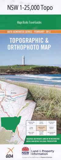
Bemboka 1-25,000 NSW Topographic Map
$16.95 – $28.95
Description:
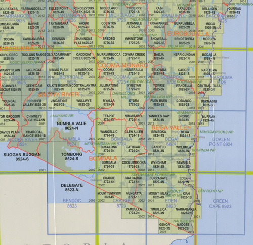
Bemboka 1-25,000 NSW Topographic Map 8824-4-S Now Print on Demand
Bemboka 88244s 1-25,000 Scale NSW Topographical Map is used for Walking, 4WD, Fishing, Camping, Motorcycle, both On and Off Road, Gold Prospecting and for those simply going for a family weekend drive.
Topographical maps show not only Contours of the Terrain but also Walking Tracks, Sealed and Unsealed Roads, Rivers, Creeks, Lakes, Historical Point of Interest, Old Mine Sites mbtg and National and State Park areas.
 Laminate and folded this NSW Topographical map, $12.00 see below.
This map includes the following localities: Bemboka Ashville Alcock Alcocks Hill Bemboka Public School Bimbaya Buckajo Buckajo Creek Colombo Creek Deep Creek Eighteen Mile Gully Kameruka Eighteen Mile Creek Girls Gate Kameruka Public School Meringla Creek Meringola Meringola Creek Meringola Gully Meringola Peak Mogila Mogilla Morans Crossing Nambugga Public School Numbugga Old Bemboka Rocky Trap Creek Ryans Crossing Saddle Camp Creek Sams Corner Sams Corner Creek Sams Flat Creek Sams Flat Gully Sandy Creek Sheep Station Creek Solomons Creek Tantawangalo Creek mbtg Tantawanglo Creek Three Mile Creek Upper Sandy Creek Wattle Camp Creek Duck Hole Butlers Creek Hanscombes Creek Johnston Creek Niagara Stony Creek
| Scale: | 1:25000 |
| Latitude Range: | 36 37.5 S – 36 45.0 S |
| Longitude Range: | 149 30.0 E – 149 45.0 E |
| Approx Print Size: | 0.56m X 1.11m |
| Projection: | Transverse Mercator |


