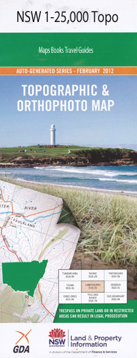
Blaxlands Flat 1-25,000 NSW Topographic Map
$16.95 – $31.95
Description:
9438-2-S
Blaxlands Flat 94382s 1-25,000 Scale NSW Topographical Map is usedfor Walking, 4WD, Fishing, Camping, Motorcycle, both On and Off Road, GoldProspecting and for those simply going for a family weekend drive.
Topographicalmaps show not only Contours of the Terrain but also Walking Tracks, Sealed andUnsealed Roads, Rivers, Creeks, Lakes, Historical Point of Interest, Old MineSites and National and State Park areas.
 Laminate and folded this NSW Topographical map, $12.00 see below
This map includes the following localities: Greenacres Fieldmount Valley View The Valley Bardool Blaxlands Creek Blaxlands Flat Blaxland Boggy Creek Boonjaub Clements Creek Farquhars Creek Fern Creek Fish Hole Creek Fitzroy Flaggy Creek Georges Knob Goolang Creek Hayards Crossing Jaloom Kangaroo Creek Deadman Creek Halfway Creek Koukandowie Koukandowie Creek Koukandowie Mountain Kremnos Main Head of Goolang Creek Middle Creek Nymboida Orara River Qwyarigo Creek Raspberry Creek Sandy Creek Sandy Swamp Creek Scarlets Creek Skinners Creek Surveyors Creek Sydney Heads The Bull Paddock Three Mile Creek Three Mile Swamp Towallum Wards Point Waterhole Creek Wooworra River Bull Paddock Dirrenmurra
| Scale: | 1:25000 |
| Latitude Range: | 29 52.5 S – 30 00.0 S |
| Longitude Range: | 152 45.0 E – 153 00.0 E |
| Approx Print Size: | 0.56m X 1.11m |
| Projection: | Transverse Mercator |

