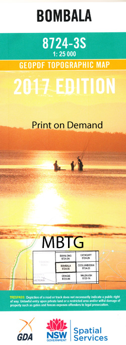
Bombala 1-25,000 NSW Topographic Map
$16.95 – $31.95
Description:
8724-3-S Print on Demand
Bombala 1-25,000 Scale NSW Topographical Map is usedfor Walking, 4WD, Fishing, Camping, Motorcycle, both On and Off Road, GoldProspecting and for those simply going for a family weekend drive.
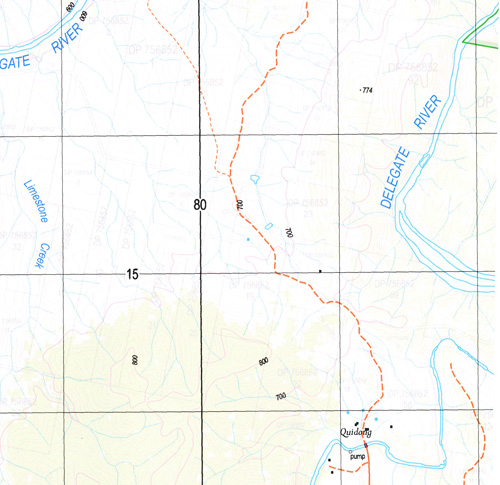
Topographicalmaps show not only Contours of the Terrain but also Walking Tracks, Sealed andUnsealed Roads, Rivers, Creeks, Lakes, Historical Point of Interest, Old MineSites and National and State Park areas.
 Laminate and folded this NSW Topographical map, $12.00 see below.
This map includes the following localities: Bombala Ashton Ashton Creek Bakers Creek Benlady Peak Bens Peak Black Spring Bombala Post Office Bombala Public School Bombala Railway Station Bombalo Brownlies Creek Cambalong Camp Gully Cannon Gully Connaughtmans Creek Currans Hill Delegate River Dundundra Creek Frenchmans Dam Gecar Gibraltar Creek Hayden Irwins Creek Jim Crow Creek Jones Corner Jones Creek Camp Creek Delegete River Koorong Hill Lords Hill Mcfarlanes Crossing Maharatta Maharatta Creek Meringo Middle Creek Mila Mother Moores Creek Mother Moores Crossing Mundarragong Native Dog Gully Oak Range Parsonage Creek Pipeclay Creek Poormans Point Quidong Rosemeath Roseneath Round Hill Saucy Creek Spring Flat Creek Toms Creek Two Eyed Creek Washpan Point Wellesley Creek Dogherty Creek Dogherty Flat Dogherty Plain Bombala River Bicentennial Gardens Tom Tipps Flat Railway Park
| Scale: | 1:25000 |
| Latitude Range: | 36 52.5 S – 37 00.0 S |
| Longitude Range: | 149 00.0 E – 149 15.0 E |
| Approx Print Size: | 0.56m X 1.11m |
| Projection: | Transverse Mercator |


