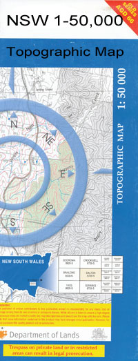
Boorooban 1-50,000 NSW Topographic Map
$16.95 – $31.95
Description:
Boorooban 1-50,000 scale NSW Topographical map is used for Walking, 4WD, Fishing, Camping, Motorcycle, both On and Off Road, Gold Prospecting and for those simply going for a family weekend drive.
Topographical maps show not only Contours of the Terrain but also Walking Tracks, Sealed and Unsealed Roads, Rivers, Creeks, Lakes, Historical Point of Interest, Old Mine Sites and National and State Park areas.
 We can Now LAMINATE and fold your map for $12.00. Just click on the image and add to the Trolley
Locations within this Map
Booroorban Booroorban Cemetery Booroorban Public School Booroorban State Forest Booroorban Tank Village of Booroorban Box Creek Box Swamp Cuba Cuba Dam Curtains Creek Deaf Adder Swamp Firebrace Green Swamp Cooba Dam Curtains or Nyangay Creek The Gums Dam Midgecleugh Millers Clump Miranda Myall Nyangay Nyangay Creek Palmer Paradise Paradise East Paradise Tank Porters Dam Quandong Raheen Lookout Ronald Sixteen Mile Gums Tank 16 Mile Gum Tank Govt Tank Suicide Creek Two Mile Sandhill Two Mile Sand Rise Wargam Creek Drysdale Dixons Creek Burra Burroon Swamp Narringa Abercrombie Creek Miegunyah Avalon Wargam Park Estate Eurolie Creek
| Publisher: | New South Wales Government |
| Scale: | 1:50000 |
| Latitude Range: | 34° 45.0′ S – 35° 0.0′ S |
| Longitude Range: | 144° 30.0′ E – 145° 0.0′ E |
| Datum: | GDA 94 |

