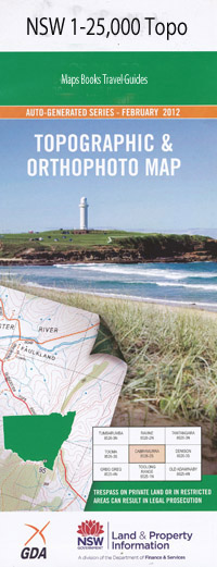
Burrier 1-25,000 NSW Topographic Map
$16.95 – $31.95
Description:
8928-2-N
Burrier 1-25,000 Scale NSW Topographical Map is usedfor Walking, 4WD, Fishing, Camping, Motorcycle, both On and Off Road, GoldProspecting and for those simply going for a family weekend drive.
Topographicalmaps show not only Contours of the Terrain but also Walking Tracks, Sealed andUnsealed Roads, Rivers, Creeks, Lakes, Historical Point of Interest, Old MineSites and National and State Park areas.
 Laminate and folded this NSW Topographical map $12.00 see below.
This map includes the following localities: Apple Tree Creek Apple Tree Flat Back Run Creek Banfora Saddle Mount Barron Barron Flat Barron Pass Bedourie Plain Bedourie Point Beehive Point Blue Yodel Pass Blue Sally Ridge Brooks Plateau Buckjumpers Creek Budjong Vale Bugong Bugong Creek Bugong Gap Caoura Chain Lightning Plateau Colley Creek Cooee Creek Cooee Flat Coolendel Coolendel Lookout Corral Creek Cumburmurra Cumburmurra Creek Deception Pass Deception Canyon Deception Creek Durkin Spur Mount Edwards Gang Gang Brook Grady Hill Grassy Gully Gunmarl Saddle Halter Hill Hanson Hill Heifer Creek Herbert Buttress Hobble Creek Hoddles Cliff Kain Head Kellets Creek Hoddles Sheerdown Lands End Point Moffat Saddle Moke Spur Monarch Bluff Moollattoo Pagoda Pinnacle Pannikin Hill Pauls Lookout Mount Phillips Pommel Pass Prydes Amphitheatre Purri Plateau Purnoo Lookout Scanzi Mount School Creek Shoalhaven Gorge Mount Skanzi Steer Creek Stockwhip Hill Tallowa Dam Teamsters Flat Three Mates Bluffs Timboolina Timboolina Flat Toms Gully Willow Flat Lake Yarrunga Bulls Flat Double Terrace Point Drovers Ridge Bundundah Burrier Illaroo Lookout Buangla Illaroo
| Scale: | 1:25000 |
| Latitude Range: | 34 45.0 S – 34 52.5 S |
| Longitude Range: | 150 15.0 E – 150 30.0 E |
| Approx Print Size: | 0.56m X 1.11m |
| Projection: | Transverse Mercator |

