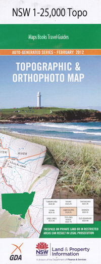
Caroona 1-25,000 NSW Topographic Map
$16.95 – $31.95
Description:
8935-2-S
Caroona 1-25,000 Scale NSW Topographical Map is usedfor Walking, 4WD, Fishing, Camping, Motorcycle, both On and Off Road, GoldProspecting and for those simply going for a family weekend drive.
Topographicalmaps show not only Contours of the Terrain but also Walking Tracks, Sealed andUnsealed Roads, Rivers, Creeks, Lakes, Historical Point of Interest, Old MineSites and National and State Park areas.
 Laminate and folded this NSW Topographical map, $12.00 see below
This map includes the following localities: Niluan Springfield Wallys Plain Goori Bonnie Doon Ferndale Warridale The Glen Woodlands Bundaleer Weston Ellong Paisley St Helens Beauty West Mooki Walhallow Wombelong Bendaroon Goodgerwirri Abbotslea By Chance Lanark Gabo Greenacres Fairfield Rockdale Tribella Hydon Colorado Williewarina Glen Logan Mulela Manutara Dimby Plains Vena Park Kilmain The Meadows Wedlands Eulabah Glenaladale Benledi Benledi Hill Binnie Caroona Caroona Aboriginal Station Caroona Public School Darby Reserve Devils Elbow Hill Hannah Roberts Hill Caroona Aboriginal School Devils Elbow Hannah Roberts Kickabel Creek Kickerbell Kickerbell Creek Mooki Mooki Cliff Mooki Cliffs Mooki Spring Nardu North Bluff Perrys Mountain Pine Ridge Pine Ridge Public School Spring Ridge Cemetery Spring Ridge Public School Spring Ridge Reserve Spring Ridge Well Spring Ridge Spring Ridge State Forest Walhallow Public School Wallala Yarraman Creek
| Scale: | 1:25000 |
| Latitude Range: | 31 22.5 S – 31 30.0 S |
| Longitude Range: | 150 15.0 E – 150 30.0 E |
| Approx Print Size: | 0.56m X 1.11m |
| Projection: | Transverse Mercator |

