Colbinabbin 1-50,000 Vicmap
$12.00 – $24.00
Description:
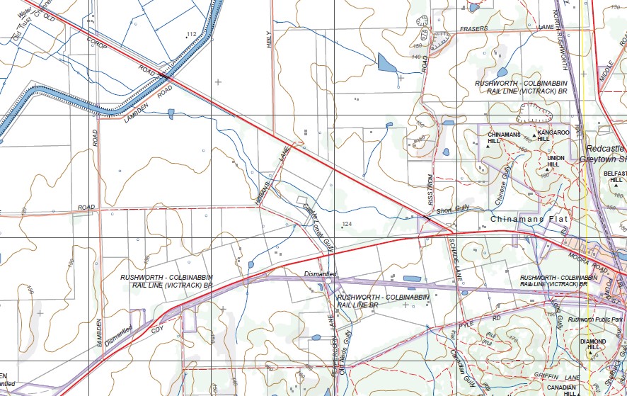
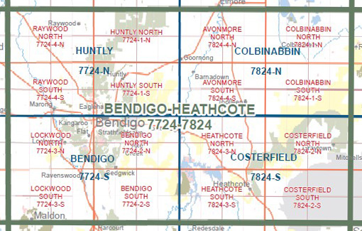
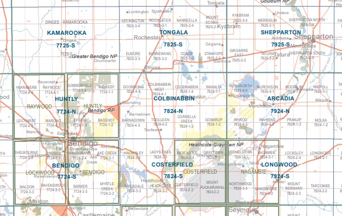
Colbibabbin 1-50,000 scale Vicmap Topographical map 7824N is used for Walking, 4WD, Fishing, Camping, Motorcycle, both On and Off Road, Gold Prospecting and for those simply going for a family weekend drive.
Topographical maps show not only Contours of the Terrain but Walking Tracks, Sealed and Unsealed Roads, Rivers, Creeks, Lakes, Historical Point of Interest, Old Mine Sites mbtg and National and State Park areas.
Main Features of this map include:
Rushworth, Goorang, Rushworth and Whroo Forests, Campaspie River, Heathcote Graytown National Park Toolleen, Colbinabbin, Numerous Old Gold Diggings, COLBINABBIN, Wanalta, Mount Burramboot, Lake Cooper, Burramboot, COLBINABBIN RANGE, Bakers Bridge, RUSHWORTH COLBINABBIN RAIL LINE (VICTRACK) BR, Old Trust Channel, GAYNOR SWAMP WR, southern section of LAKE COOPER, Lake Stewart, Waranga Western Main Channel, Groves Weir, ONE TREE SWAMP AND TWO TREE SWAMP NCR, Moora, ERWEN Dismantled Rail Station, Karook, Western edge of Redcastle – Greytown State Forest, Old Neds Gully, CANADIAN HILL, mbtg, CORNELLA, Gobarup, Redcastle – Greytown State Forest, Hamiltons Bridge, Bosseys Bridge, Cornella School Bridge, Egans Bridge, Daveys Bridge Davey, Black Cat Track and Creek, HEATHCOTE GRAYTOWN National Park, Rushworth Forest Reference Area (no public access), Fontainbleu Dam, WHROO NCR, Three Jims Dam, White Hills Dam, GARDEN PICK HILL, Cheong Dam
Avonmore, GOORNONG, Colbinabbin West, Holmberg Bridge, PICANINNY CREEK SSR, Suffern Bridge, Avonmore Bridge, Ferguson Bridge, Creek View, Runnymede, Creek View School Bridge, Grogans Bridge, Butchers Bridge, Tohills Bridge, Runnymeade East, Runnymede State Forest, mbtg, Toolleen, BARNADOWN, CAMPASPE RIVER, Fosterville Gold Mine, ELLESMERE BR, Russell Bridge, MOUNT SUGARLOAF NCR, O’Dwyers Bridge, Joyces Bridge, Muskerry, Noel Tuohey Bridge, CROSBIE NCR, Mulvehills Bridge, Myola, Toolleen Mine (Disused), MOUNT CAMEL, Cornella


