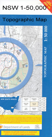
Coleambally 1-50,000 NSW Topographic Map
$16.95 – $31.95
Description:
Coleambally 8028S 1-50,000 scale NSW Topographical map is used for Walking, 4WD, Fishing, Camping, Motorcycle, both On and Off Road, Gold Prospecting and for those simply going for a family weekend drive.
Topographical maps show not only Contours of the Terrain but also Walking Tracks, Sealed and Unsealed Roads, Rivers, Creeks, Lakes, Historical Point of Interest, Old Mine Sites and National and State Park areas.
 We can Now LAMINATE and fold your map for $12.00. Just click on the image and add to the Trolley
NOW AVAILABLE PRINT ON DEMAND
Locations within this MapColeambally Argoon Argoon Channel Argoon No 1 Channel Argoon No 3 Channel Black Ridge Black Range Blind Creek Boobalbundi Sandhill Boona Booroorban Headworks Booroorban Regulator Bublebundie Creek Coleambally Channel No. 6 Coleambally Channel No. 9 Coleambally Channel No. 9b Coleambally Outfall Drain Gumblebogie Coleambally Creek Kulki State Forest Maley Morton Mortons Swamp Mycotha Peter Pullega Walla Waloona Yamma Channel Yamma No 1 Channel Yamma No 2 Channel Yamma No 3 Channel Yanko Yanko South Bundure No 4 Channel Mabins Well Coleambally Central School Gala Vale The Big Sand Hill Cooinbil Clifford Downs Bublebundie Sandhill Bubblebundi Creek Bubblebundie Creek Coleambally Well Maleys Well Spilleis Creek Neyliona Coolgumble Riverina
| Publisher: | New South Wales Government |
| Scale: | 1:50000 |
| Latitude Range: | 34° 45.0′ S – 35° 0.0′ S |
| Longitude Range: | 145° 30.0′ E – 146° 0.0′ E |
| Datum: | GDA 94 |

