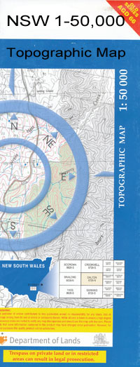
Coolamon 1-50,000 NSW Topographic Map
$16.95 – $31.95
Description:
Coolamon 8328s1-50,000 scale NSW Topographical map is used for Walking, 4WD, Fishing, Camping, Motorcycle, both On and Off Road, Gold Prospecting and for those simply going for a family weekend drive.
Topographical maps show not only Contours of the Terrain but also Walking Tracks, Sealed and Unsealed Roads, Rivers, Creeks, Lakes, Historical Point of Interest, Old Mine Sites and National and State Park areas.
 We can Now LAMINATE and fold your map for $12.00. Just click on the image and add to the Trolley
Locations within this Map
Coolamon Ganmain Brushwood Brushwood Railway Station Bulgan Connollys Hill Coolamon Central School Coolamon Post Office Coolamon Railway Station Coolamon Tank Cottee Coursing Park Currawananna Currawarna Cemetery Derry Flowerdale Ganmain Hill Ganmain Public School Ganmain Railway Station Ganmurra Gap Creek Golden Gwynne Harts Creek Hooke Jarvis Currawarna General Cemetery The Gap Kindra Kindra State Forest Kinilibah Lester State Forest Little Boree Dam Mckinnon McKinnons Tank Malebo Mangain Maror Maror Pinnacle Marrar Marrar Platform Marrar Public School Marrar Railway Station Marrar Tank Marror Village of Marror Murrulebale The Pinnacle Rands Tank Rockview Rockview Railway Station Smiths Hill Strathmore The Dip Dam Tooyal Tooyal Gap Village of Coolamon Village of Wallace Wagga Wagga Cemetery Wallace Wallacetown Warren Yathella Devlin Downside Downside Tank Dhulura Public School Langtry Oval Gum Hole Tank Bills Tank Kindra Creek York Tank Boggy Creek Oaklands Reedy Creek Tooyal North Lauderdale Shepherds Siding Shepherds
| Publisher: | New South Wales Government |
| Scale: | 1:50000 |
| Latitude Range: | 34° 45.0′ S – 35° 0.0′ S |
| Longitude Range: | 147° 0.0′ E – 147° 30.0′ E |
| Datum: | GDA 94 |

