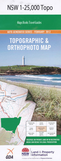
Cooplacurripa 1-25,000 NSW Topographic Map
$16.95 – $31.95
Description:
9234-1-N Print on Demand
Cooplacurripa 1-25,000 Scale NSW Topographical Map is usedfor Walking, 4WD, Fishing, Camping, Motorcycle, both On and Off Road, GoldProspecting and for those simply going for a family weekend drive.
Topographicalmaps show not only Contours of the Terrain but also Walking Tracks, Sealed andUnsealed Roads, Rivers, Creeks, Lakes, Historical Point of Interest, Old MineSites and National and State Park areas.
 We can Now LAMINATE and fold your NSW 1-25,000 Topographical map for $12.00. Just click on the image and Add to the Trolley
This map includes the following localities: Wandana Glen Forest Top Station Haselwoods Beaufort Kings Creek Kangaroo Tops Mares Run Brandy Creek Alkira Barkers Gully Black Camp Creek Boggy Creek Brahams Creek Brahams Gully Branch of Sheep Station Creek Branch of Spring Creek Branch of Wards Creek Bruhns Creek Coco Creek Cooplacurripa Cradle Creek Crawfish Creek Giro Forest Park Giro State Forest Gitshan Creek Green Wattle Creek Home Creek Houston Creek Hungry Creek Hungry Hill Creek Hut Gully Kalyara Kangaroo Creek Kareela Hut Creek Jackey Barkers Creek King Creek Long Creek Mares Run Creek Mummel Nowendoc State Forest Parish Creek Quartpot Creek Saltwater Creek Spa Gully Spring Creek Spring Gully Thunderbolts Way Tommys Creek Trap Gully Two Bulls Creek Ward Wards Creek Wards Gully Yard Creek Yuruga Dry Creek Duff Creek Coco Creek Flora Reserve
| Scale: | 1:25000 |
| Latitude Range: | 31 30.0 S – 31 37.5 S |
| Longitude Range: | 151 45.0 E – 152 00.0 E |
| Approx Print Size: | 0.56m X 1.11m |
| Projection: | Transverse Mercator |

