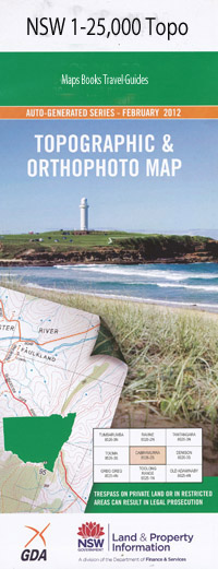
Copmanhurst 1-25,000 NSW Topographic Map
$16.95
Description:
9438-1-N
Copmanhurst 1-25,000 NSW Iopographical Map 1-25,000 Scale NSW Topographical Map is usedfor Walking, 4WD, Fishing, Camping, Motorcycle, both On and Off Road, GoldProspecting and for those simply going for a family weekend drive.
Topographicalmaps show not only Contours of the Terrain but also Walking Tracks, Sealed andUnsealed Roads, Rivers, Creeks, Lakes, Historical Point of Interest, Old MineSites and National and State Park areas.
High Chapparal Sunnyside Laureldale Kelara Trafalgar Tristania Double Wheel Farm Riverbend Riverview Riverstone Belleview Turville Wrights Creek Yattendon Barren-Dah Carmal Copmanhurst Alumy Creek Arboretum Lookout Chapman Chaselings Creek Clifden Copmanhurst Public School Copmanhurst Well Crooked Creek Eastland Park Eaton Eaton Creek Chaselings Gully Eton Creek King William Hill Mount King William Koolkhan Koolkhan Loop Koolkhan Power Station Koolkhan Railway Station Kyarran Kyarran Loop Lagoon Creek Lookout Hill Millers Waterholes Moleville Moleville Creek Moleville Rocks Reserve Monks Creek Mountain View Pinnacles Seelands Smiths Falls Smiths Flats Stockyard Creek Swampy Creek The Whiteman Trenayr Warragai Creek Warragai Creek Railway Station Whiteman Creek Wrights Gully Double Swamp Double Swamp Creek Dry Gully Dry Creek Bunyip Creek Small Creek Wombat Creek The Pinnacles
| Scale: | 1:25000 |
| Latitude Range: | 29 30.0 S – 29 37.5 S |
| Longitude Range: | 152 45.0 E – 153 00.0 E |
| Approx Print Size: | 0.56m X 1.11m |
| Projection: | Transverse Mercator |

