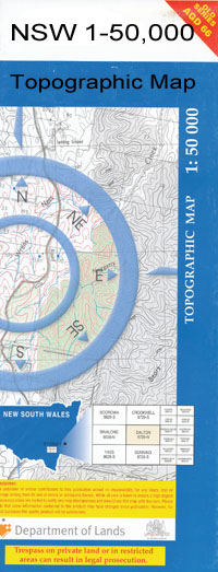
Corobimilla 1-50,000 NSW Topographic Map
$16.95 – $31.95
Description:
Corobimilla 8128S 1-50,000 scale NSW Topographical map is used for Walking, 4WD, Fishing, Camping, Motorcycle, both On and Off Road, Gold Prospecting and for those simply going for a family weekend drive.
Topographical maps show not only Contours of the Terrain but also Walking Tracks, Sealed and Unsealed Roads, Rivers, Creeks, Lakes, Historical Point of Interest, Old Mine Sites and National and State Park areas.
 We can Now LAMINATE and fold your map for $12.00. Just click on the image and add to the Trolley
NOW AVAILABLE PRINT ON DEMAND ‘Locations within this Map
Banandra Bingagong Brians Creek Coleambally Catchment Drain Coleambally Channel No. 7 Coleambally Channel No. 8 Coleambally Channel No. 9a Coleambally Channel No 10 Coleambally Channel No 11 Colkmannan Colombo Creek Corobimilla Cuddell Cuddell Creek Eulo Gidgell Grants Regulator Howell Corobimilla Railway Station Gidgell Public School Koorumbeen Channel Melbergen State Forest Morundah Morundah Public School Morundah Railway Station Morundah Regulator Muddy Creek New Park New Park Railway Station Pine Watercourse Prickly Regulator Pulletop Creek Stephens Tom Grogans Lagoon Washpen Creek Waugh Woolshed Creek Yamma Bundure Channel Bundure No 1 Channel Bundure No 2 Channel Bundure No 3 Channel Buckingbong Flora Reserve Pulletop Nature Reserve The Chace Oak Vale Riverina
| Name: | Corobimilla |
| Publisher: | New South Wales Government |
| Scale: | 1:50000 |
| Latitude Range: | 34° 45.0′ S – 35° 0.0′ S |
| Longitude Range: | 146° 0.0′ E – 146° 30.0′ E |
| Datum: | GDA 94 |

