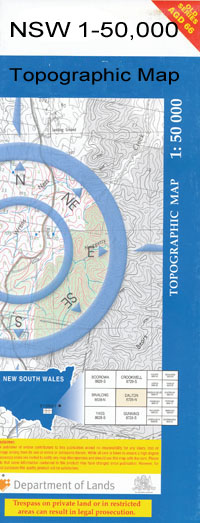
Cubbo 1-50000 NSW Topographic Map
$16.95 – $31.95
Description:
Cubbo 8736-N 1-50,000 scale NSW Topographical map is used for Walking, 4WD, Fishing, Camping, Motorcycle, both On and Off Road, Gold Prospecting and for those simply going for a family weekend drive.
Topographical maps show not only Contours of the Terrain but also Walking Tracks, Sealed and Unsealed Roads, Rivers, Creeks, Lakes, Historical Point of Interest, Old Mine Sites and National and State Park areas.
 We can Now LAMINATE and fold your map for $12.00. Just click on the image and add to the Trolley
NOW AVAILABLE PRINT ON DEMAND
Locations within this Map
Bungawirra Huon Oakland Kalyan Nowandory Linkwood Glen Idyll Cullenya Glenworth Glenelg Merebene Elstow Alora Euligal Kanowna Erinbri Aloes Well Alloe Well Ana Branch Arrarownie Black Creek Coghill Coghill Bore Coghill Creek Cook Coomore Cubbo Cubbo State Forest Cumbil Forest Creek Cumbil No. 8 Bore Cumbill State Forest Dunwerian Etoo Etoo Bore Etoo Creek Etoo Crossing Euligal Crossing Euligal State Forest Greens Corner Ironbarks Crossing Cumble Forest Creek Lucky Flat Bore Meat Safe Corner Mollieroi Mollieroi Creek Nuable Creek Pian Pickaxe Creek Pine Creek Reillys Corner Rocky Creek Rocky Creek Bore Sandy Creek Schwagers Bore Stockyard Creek Talluba Creek Thursday Creek Tinegie Creek Tinegie Crossing Top Well Turramah Waterhole Windup Well Dubbo Creek Lanes Mill Flora Reserve Cubbo Nature Reserve Goona Creek Cubbo Creek Campbells Well Gumble Forest Creek Cumbil
| Name: | Cubbo |
| Publisher: | New South Wales Government |
| Scale: | 1:50000 |
| Latitude Range: | 30° 30.0′ S – 30° 45.0′ S |
| Longitude Range: | 149° 0.0′ E – 149° 30.0′ E |
| Datum: |
GDA 9 4 |

