Culpataro 1-50000 NSW Topographic Map
$16.95 – $31.95
Description:
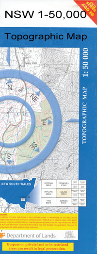
Culpataro 7730-N 1-50,000 scale NSW Topographical map is used for Walking, 4WD, Fishing, Camping, Motorcycle, both On and Off Road, Gold Prospecting and for those simply going for a family weekend drive.
Topographical maps show not only Contours of the Terrain but also Walking Tracks, Sealed and Unsealed Roads, Rivers, Creeks, Lakes, Historical Point of Interest, Old Mine Sites and National and State Park areas.
 We can Now LAMINATE and fold your map for $12.00. Just click on the image and add to the Trolley
NOW AVAILABLE PRINT ON DEMAND
Locations within this Map
Clare Calpa Freshwater Murrungrung Culpataro Mayfield Yamba Willow Corner Bomarthong Tank Coolyamba Creek Nympie Well Sebastopol Bore Sebastopol Well Arrawatta Bulgarbugerygam Culparling Moolbong Creek Boomarthong Tank
| Name: | Culpataro |
| Publisher: | New South Wales Government |
| Scale: | 1:50000 |
| Latitude Range: | 33° 30.0′ S – 33° 45.0′ S |
| Longitude Range: | 144° 0.0′ E – 144° 30.0′ E |
| Datum: | GDA 94 |