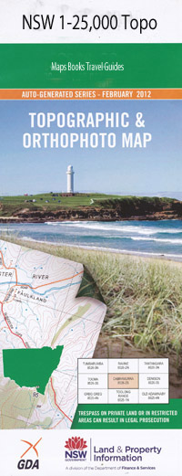
Curlewis 1-25,000 NSW Topographic Map
$16.95
Description:
8935-1-N
Curlewis 1-25,000 Scale NSW Topographical Map is used for Walking, 4WD, Fishing, Camping, Motorcycle, both On and Off Road, Gold Prospecting and for those simply going for a family weekend drive.
Topographical maps show not only Contours of the Terrain but also Walking Tracks, Sealed and Unsealed Roads, Rivers, Creeks, Lakes, Historical Point of Interest, Old Mine Sites and National and State Park areas.
 We can Now LAMINATE and fold your NSW 1-25,000 Topographical map for $12.00. Just click on the image and Add to the Trolley
This map includes the following localities: Mount Wilga Malua Redbank Booyong Wilga Vale Dawn Ruvigne Mobah Kiamah Maryland Hartfell Little Kibah Yeovil Telba Calare Boom-Wirra Goonambi Pullaming Coolidoon Warilda Corella Top River Battery Hill Longacres Avondale Booloocooroo Nundah Gabo Gateways Farm Kooyong Alkira Arthoma Carrawatha Clifton Downfield Kilkenny River Downs Yarr Brae Redlen Debdhill Curlewis Black Jack State Forest Black Hill Bindea Hills Carroll Creek Coghill Ponds Creek Conadilly Conserve Curlewis Post Office Curlewis Public School Curlewis Swamp Goodwin Knobs Johnston Little Battery Little Battery Hill Mill Ridge Oakleigh Gully Peach Tree Gully Schofield Knobs Schofields Ridge The Knobs Dight Curlewis Cemetery Curlewis Tank
| Scale: | 1:25000 |
| Latitude Range: | 31 00.0 S – 31 07.5 S |
| Longitude Range: | 150 15.0 E – 150 30.0 E |
| Approx Print Size: | 0.56m X 1.11m |
| Projection: | Transverse Mercator |

