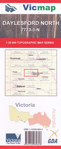
Daylesford North 1-25,000 Vicmap Topo 7723-3-N
Price range: $14.00 through $26.00
Description:
Daylesford North 1-25,000 scale Vicmap Topographical map 77233N is used for Walking, 4WD, Fishing, Camping, Motorcycle, both On and Off Road, Gold Prospecting and for those simply going for a family weekend drive.
This is a new series of 1-25,000 scale maps, all sections of Victoria are covered by these maps.
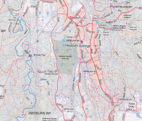
Topographical maps show not only Contours of the Terrain but Walking Tracks, Sealed and Unsealed Roads, Rivers, Creeks, Lakes, Historical Points of Interest, Old Mine Sites mbtg and National and State Park areas.
Main Features of this Map
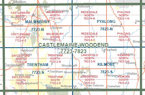
Upper Loddon State Park Northern section on the Castlemaine South 1-125,000 Map
Daylesford, Hepburn Springs, Dry Diggings State Forest, Mount Franklin, Mount Stewart, Eganstown, Kangaroo Hills, Kooroocheang, Glenlyon, Upper Loddon State Park
You may also like…
-
Trentham 1-50,000 Vicmap
Price range: $12.00 through $24.00Select options This product has multiple variants. The options may be chosen on the product page -
DAYLESFORD SOUTH 1-25,000 Vicmap Topo 7723-3-S
Price range: $14.00 through $26.00Select options This product has multiple variants. The options may be chosen on the product page -
Castlemaine South 1-25,000 Vicmap Topographic Map
Price range: $14.00 through $26.00Select options This product has multiple variants. The options may be chosen on the product page -
Wombat State Forest 4WD Map Meridian Edition 5
Price range: $14.95 through $26.96Select options This product has multiple variants. The options may be chosen on the product page -
Malmsbury 1-50,000 Vicmap Topographic Map
Price range: $12.00 through $24.00Select options This product has multiple variants. The options may be chosen on the product page